
What is recorded here
Marked on the 1938-9 'OS 6-inch' map as 'St Brigid's Well'. Covered with a corbelled canopy of stone that was constructed between 1900 and 1924; before this it had a clay canopy (CLAJ 1966, 115). Partial excavations by L. Connor revealed a deep cutting at the front of the well face (CLAJ 1966, 125-9). There is a tradition that a skull lay beside the well and that people drank from it to cure headaches (IFC Schools MSS 660, 340). It was also claimed to cure rheumatism and other pains (IFC Schools MSS 670, 8).
Compiled by: Claire Breen
Date of upload: 17 November 2011
Linked to St Brigid of Kildare, the well is associated with healing and fertility traditions. It was a site of pilgrimage and veneration, with its stone canopy replacing an earlier clay structure, reflecting its long-standing spiritual significance in the local landscape.
The monument record does not grant public access. Check the route and ask the landowner before entering private land.
- What survives
- Recorded monument
Places near here
 Grave YardGraveyard · 13 yd
 Church (in ruins)Church · 25 yd
 CrossCross, High cross · 32 yd
 Faughart MoundCastle, motte · 162 yd
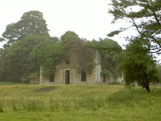 Woodlawnhouse · 598 yd
 Battle of FaughartMajor battlefield · 1044 yd
 MonascreebeMountain / peak · 1.1 mi
 SlievenaboleaMountain / peak · 1.2 mi
 Raskeagh FortCastle, motte and bailey · 1.2 mi
 Moyry CastleCastle · 1.3 mi
 KILNASAGGART INSCRIBED PILLAR STONE & CEMETERY with 6 CROSS-CARVED STONES: CELL NA SACART in EdenappaKILNASAGGART INSCRIBED PILLAR STONE & CEMETERY with 6 CROSS-CARVED STONES: CELL NA SACART · 1.4 mi
 Proleek DolmenArchaeological place · 1.8 mi
Other information
Photo: Credit not shown in the picture search · Rights wording not checked; contact us if this picture should be removed