
What is recorded here
Sub-rectangular enclosure (map dims. c. 70m E-W; c. 50m N-S), just SW of motte and bailey site (LH008-072----). Overgrown foundations of church (LH008-073001-) in NW corner. (CLAJ 1941, 14)
Compiled by: Claire Breen
Date of upload: 6 March 2012
From the National Monuments Service (Archaeological Survey of Ireland) record LH008-073002
The monument record does not grant public access. Check the route and ask the landowner before entering private land.
- What survives
- Recorded monument
Places near here
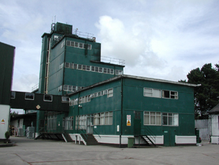 factory570 yd
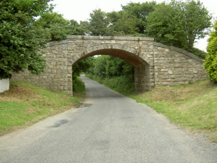 bridge1105 yd
 The BushPicnic place · 1.4 mi
 Grange UpperMountain / peak · 1.5 mi
 SlievenagloghMountain / peak · 1.8 mi
 Rockmarshall Court TombArchaeological place · 2.4 mi
 Ballug CastleCastle, tower house · 2.5 mi
 Ballug CastleCastle · 2.5 mi
 Carlingford - Loop 1A- Commons LoopWalking route · 3.1 mi
 Lady WellHoly well · 3.2 mi
 Carlingford Heritage CentreVisitor information · 3.4 mi
 Graveyard in Liberties of CarlingfordGraveyard · 3.4 mi
Pictures: National Inventory of Architectural Heritage; Eric Jones, Geograph · CC BY-SA 2.0; Eric Jones, Wikimedia Commons · CC BY-SA 2.0; Eric Jones, Geograph · Creative Commons Attribution-ShareAlike 2.0
More archaeology and monuments in County Louth · All of County Louth
What do you know about this place?