
What is recorded here
The Bush is recorded as a picnic place in County Louth.
From OpenStreetMap (© OpenStreetMap contributors) n1853251174
Places near here
 Saint Andrew's Church (Carlingford)Church/chapel · 182 yd
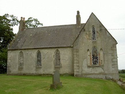 Saint Andrew's Church (Carlingford)School · 205 yd
 Grange UpperMountain / peak · 1.2 mi
 Ballug CastleCastle, tower house · 1.2 mi
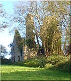 Ballug CastleCastle · 1.2 mi
 Newtown Burying GroundGraveyard · 1.4 mi
 Lady WellHoly well · 1.8 mi
 BarnavaveMountain / peak · 2.1 mi
 Cooley PointHeadland · 2.5 mi
 St James WellSpring · 2.5 mi
 Carlingford - Loop 1A- Commons LoopWalking route · 2.7 mi
 Graveyard in Liberties of CarlingfordGraveyard · 2.9 mi
Pictures: Robert Ashby, Geograph · Creative Commons Attribution-ShareAlike 2.0; National Inventory of Architectural Heritage; Eric Jones, Geograph · CC BY-SA 2.0; Eric Jones, Geograph · Creative Commons Attribution-ShareAlike 2.0
More viewpoints and information in County Louth · All of County Louth
What do you know about this place?