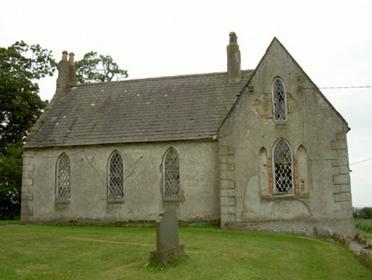
What is recorded here
Detached four-bay double-height school, built c. 1845, now disused. Rectangular-plan with single-bay gable-fronted breakfronts to north and south, lean-to extension in angle of south projection. Pitched slate roofs, clay ridge tiles, raised stone verge coping to east gable, unpainted smooth rendered paired chimneystacks to east gable and central ridge, moulded clay chimney pots, smooth rendered continuous square stone eaves course, no rainwater goods. Unpainted smooth rendered ruled-and-lined walling, slightly projecting V-jointed quoins slightly projecting chamfered plinth. Pointed arch window openings, unpainted smooth rendered reveals, dressed limestone flush chamfered sills, painted-timber frames, leaded diamond-pattern quarried glass panes, windows infilled to east elevation. Pointed-arch door opening, painted timber frame, vertically-sheeted door, leading stone step; square-headed door opening to lean-to painted vertically-sheeted timber door, leading stone step. Outbuilding to south, pitched artificial slate roof, uPVC gutters, unpainted smooth rendered walling, quoins, projecting plinth, timber casement windows, timber doors. Set within own grounds, set back from road on elevated site, random rubble stone boundary wall, soldier coping, square-plan gate piers, wrought-iron gates, Church of Ireland church to north-east.
This building has some beautiful details such as its leaded windows which compliment the architecture of the neighbouring Carlingford Parish Bush church, which was built at the same time. The pairing of these two prominent buildings creates a dramatic local landmark.
This does not grant access. Most recorded buildings are privately owned; view them only from public ground unless the owner allows entry.
Places near here
 The BushPicnic place · 205 yd
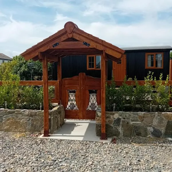 Enclosure in RathcorEnclosure · 628 yd
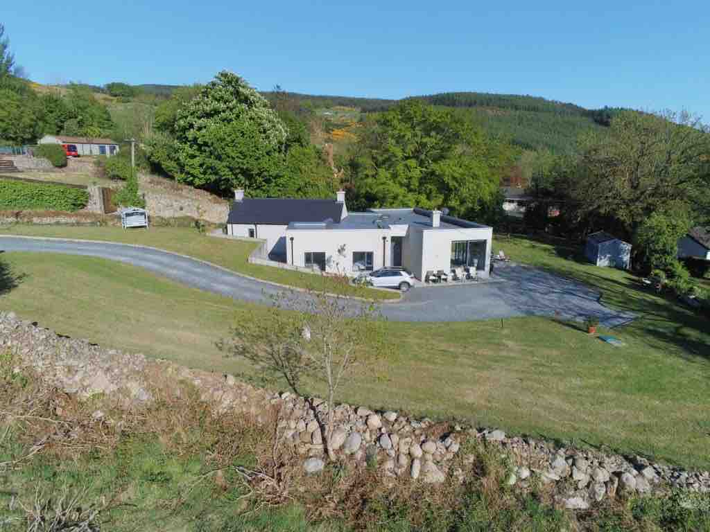 Enclosure in BallavertyEnclosure · 753 yd
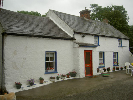 farm housefarm house · 1671 yd
 Grange Abbey (in Ruins)Church · 1677 yd
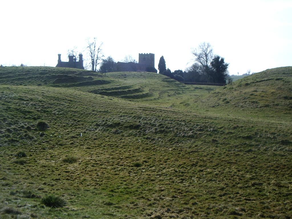 CastleCastle, motte · 1736 yd
 Cooley CastleCastle, tower house · 1.2 mi
 Grange UpperMountain / peak · 1.2 mi
 BarnavaveMountain / peak · 2.2 mi
 Cooley PointHeadland · 2.5 mi
 St James WellSpring · 2.6 mi
 Carlingford - Loop 1A- Commons LoopWalking route · 2.8 mi
Other information
Photo: National Inventory of Architectural Heritage · Website use allowed for educational or private purposes with source credit