What is recorded here
The following description is derived from both the published 'Archaeological Inventory of County Louth' (Dublin: Stationery Office, 1986) and the 'Archaeological Survey of County Louth' (Dublin: Stationery Office, 1991). 1543 and destroyed in the nineteenth century (Tempest 1952b, 77). No visible surface trace.
From the National Monuments Service (Archaeological Survey of Ireland) record LH008-056
Places near here
Picture notes
- National Inventory of Architectural Heritage
- Computer-made picture. It does not show this monument.
- Eric Jones, Geograph · CC BY-SA 2.0
- Computer-made picture. It does not show this playground.
- Computer-made picture. It does not show this walking route.
- Garry Dickinson, Geograph · CC BY-SA 2.0
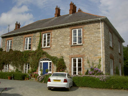 Castletown HouseHouse · 61 yd
 Earthwork in CastletowncooleyEarthwork · 414 ydComputer-made picture
 Fairy fort / earthen ringfort in CastletowncooleyFairy fort / earthen ringfort · 535 ydComputer-made picture
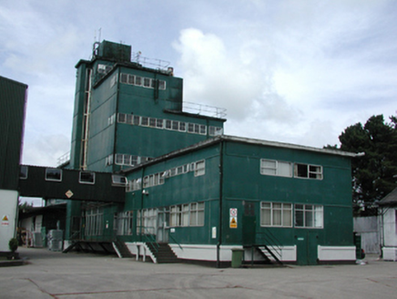 factory1057 yd
 Grange UpperMountain / peak · 1497 yd
 The BushPicnic place · 1.2 mi
 Children's playground1.6 miComputer-made picture
 BarnavaveMountain / peak · 1.7 mi
 Carlingford - BarnavaveWalking route · 2.4 miComputer-made picture
 Carlingford - Loop 1A- Commons LoopWalking route · 2.5 mi
 Carlingford Heritage CentreVisitor information · 2.7 mi
 CastleCastle, tower house · 2.7 mi
More castles and forts in County Louth · All of County Louth

What do you know about this place?Tap to add a comment or ask a question