
What is recorded here
Detached four-bay two-storey house, built c. 1870, incorporating fabric of earlier building. Hipped slate roof, terracotta ridge and hip tiles, red brick chimneystacks set at angle to base, dogtooth detailing to bases and corbels, overhanging eaves, painted timber sheeted soffits on paired console brackets, metal rainwater goods. Roughly squared rubble walling and quoins, roughcast render to extension. Square-headed window openings with red brick block-and-start surrounds, tooled granite sills, painted timber two-over-two timber sliding sash windows, paired with painted timber mullions to west, tripartite to south. Segmental-headed door opening, red brick block-and-start surround, spoked fanlight, painted timber door frame, multi-paned sidelights, panelled door with brass door furniture, three granite steps. Random rubble and roughcast render wall to north-west with reused date stone of 1629, possible marriage stone. Farmyard to north, random rubble outbuildings, pitched slated roofs, double wrought-iron gates. Set within own grounds, garden to west, gravel avenue, square-plan random rubble gate piers, wrought-iron gates.
The long and interesting history of this property is reflected in its architecture and it appears to have been built in stages reflected in the walling which has been exposed and in the different window levels and types. The site is associated with Cooley Castle. The fenestration pattern and detailing of the door opening create a coherent and balanced exterior.
This does not grant access. Most recorded buildings are privately owned; view them only from public ground unless the owner allows entry.
Places near here
 Cooley CastleCastle, tower house · 61 yd
 Enclosure in CastletowncooleyEnclosure · 278 yd
 Hut site in CastletowncooleyHut site · 592 yd
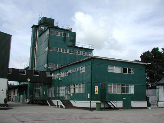 factoryfactory · 1049 yd
 Mount Bagnell FoerCastle, motte and bailey · 1069 yd
 Grange UpperMountain / peak · 1462 yd
 Piedmont Ho. (in ruins)House, 17th century · 1492 yd
 The BushPicnic place · 1.2 mi
 BarnavaveMountain / peak · 1.7 mi
 Carlingford - Loop 1A- Commons LoopWalking route · 2.4 mi
 Carlingford Heritage CentreVisitor information · 2.7 mi
 Graveyard in Liberties OF CarlingfordGraveyard · 2.7 mi
Other information
Photo: National Inventory of Architectural Heritage · Website use allowed for educational or private purposes with source credit