
What is recorded here
Almost completely quarried out in 1965, it was sited on high ground close to the S bank of the Castletown River and is shown on the 1939 ed. of the OS 25-inch map with a crescentic bailey at the S defined by scarping, a fosse between the bailey and the motte, with a bank at its NW side. It is also illustrated by Wright (1758, bk I, pl. XIX) as having a high bailey and steep-sided motte, while Tempest (Morris 1906, opp. p. 40) has a photo taken of it in 1906 from almost the same position. In 1911 a small portion of the motte was cut away (Morris 1911, 440) on the river side and some large stones, which were apparently part of the foundations of the motte, were found during the course of this digging. (Wright 1758, bk. I, pl. XIX; Morris 1908, 43; 1911, 440)
The above description is derived from both the published 'Archaeological Inventory of County Louth' (Dublin: Stationery Office, 1986) and the 'Archaeological Survey of County Louth' (Dublin: Stationery Office, 1991). In certain instances the entries have been revised and updated in the light of recent research.
Date of upload: 17 July 2007
Built in the medieval period, likely by a local landholding family, Mount Bagnell Foer (Mountbagnall) is remembered for its strategic position near the Castletown River and its distinct crescentic bailey, though it was largely destroyed by quarrying in 1965. Its remains were recorded on the 1939 Ordnance Survey map, offering insight into regional defensive architecture.
The monument record does not grant public access. Check the route and ask the landowner before entering private land.
- What survives
- Recorded monument
Places near here
 Newtown Burying GroundGraveyard · 173 yd
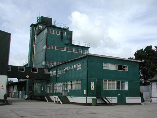 factoryfactory · 458 yd
 Enclosure in CastletowncooleyEnclosure · 881 yd
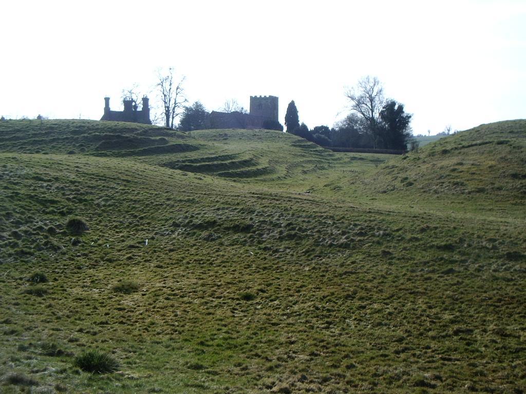 CastleCastle, motte · 913 yd
 Cooley CastleCastle, tower house · 1051 yd
 Castletown Househouse · 1069 yd
 The BushPicnic place · 1.4 mi
 Grange UpperMountain / peak · 1.4 mi
 SlievenagloghMountain / peak · 1.8 mi
 Carlingford - Loop 1A- Commons LoopWalking route · 3.1 mi
 Carlingford Heritage CentreVisitor information · 3.3 mi
 Graveyard in Liberties OF CarlingfordGraveyard · 3.3 mi
Other information
Photo: Credit not shown in the picture search · Rights wording not checked; contact us if this picture should be removed