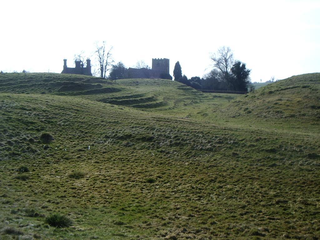
What is recorded here
Situated on high ground at the edge of an old river valley overlooking the Castletown River to the SW and consisting of an earth and stone mound (max. diam. at base c. 30m, summit partly destroyed, H c. 5m) with traces of a wide filled-in fosse (Wth 8.1m, D c. 1m) at the E. Part of the W side of the mound appears to have collapsed into the old river valley which may have been the original course of the Castletown River. Site quarried out and destroyed c. 1979. (Morris 1906, 40)
The above description is derived from both the published 'Archaeological Inventory of County Louth' (Dublin: Stationery Office, 1986) and the 'Archaeological Survey of County Louth' (Dublin: Stationery Office, 1991). In certain instances the entries have been revised and updated in the light of recent research.
Date of upload: 17 July 2007
Built in the 12th or 13th century, likely by a local Anglo-Norman lord or military commander, Castlecarragh motte served as a strategic defensive and administrative outpost in a frontier region. Its location overlooking a river valley highlights its importance in controlling local trade routes and asserting authority during the medieval colonization of Ireland.
The monument record does not grant public access. Check the route and ask the landowner before entering private land.
- What survives
- Recorded monument
Places near here
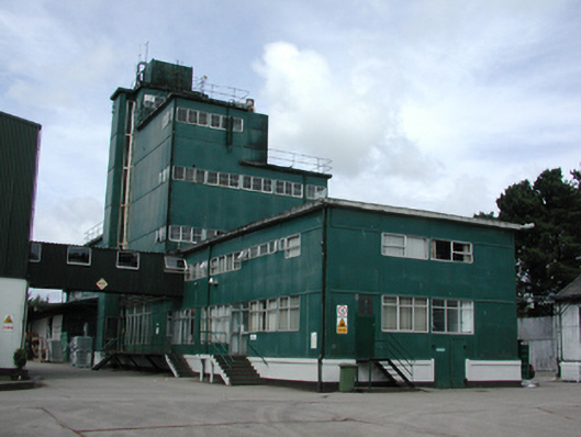 factoryfactory · 581 yd
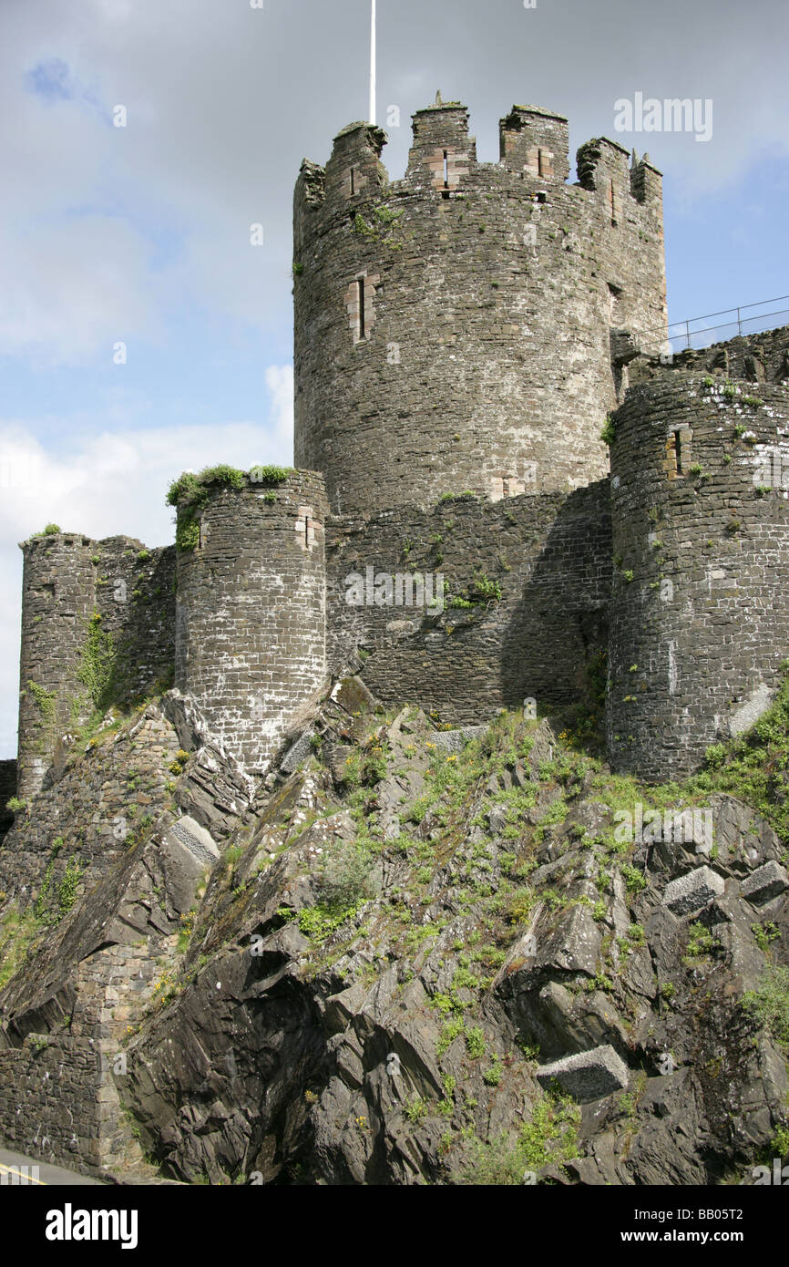 Promontory Fort or Mota GormflaithPromontory fort, coastal · 788 yd
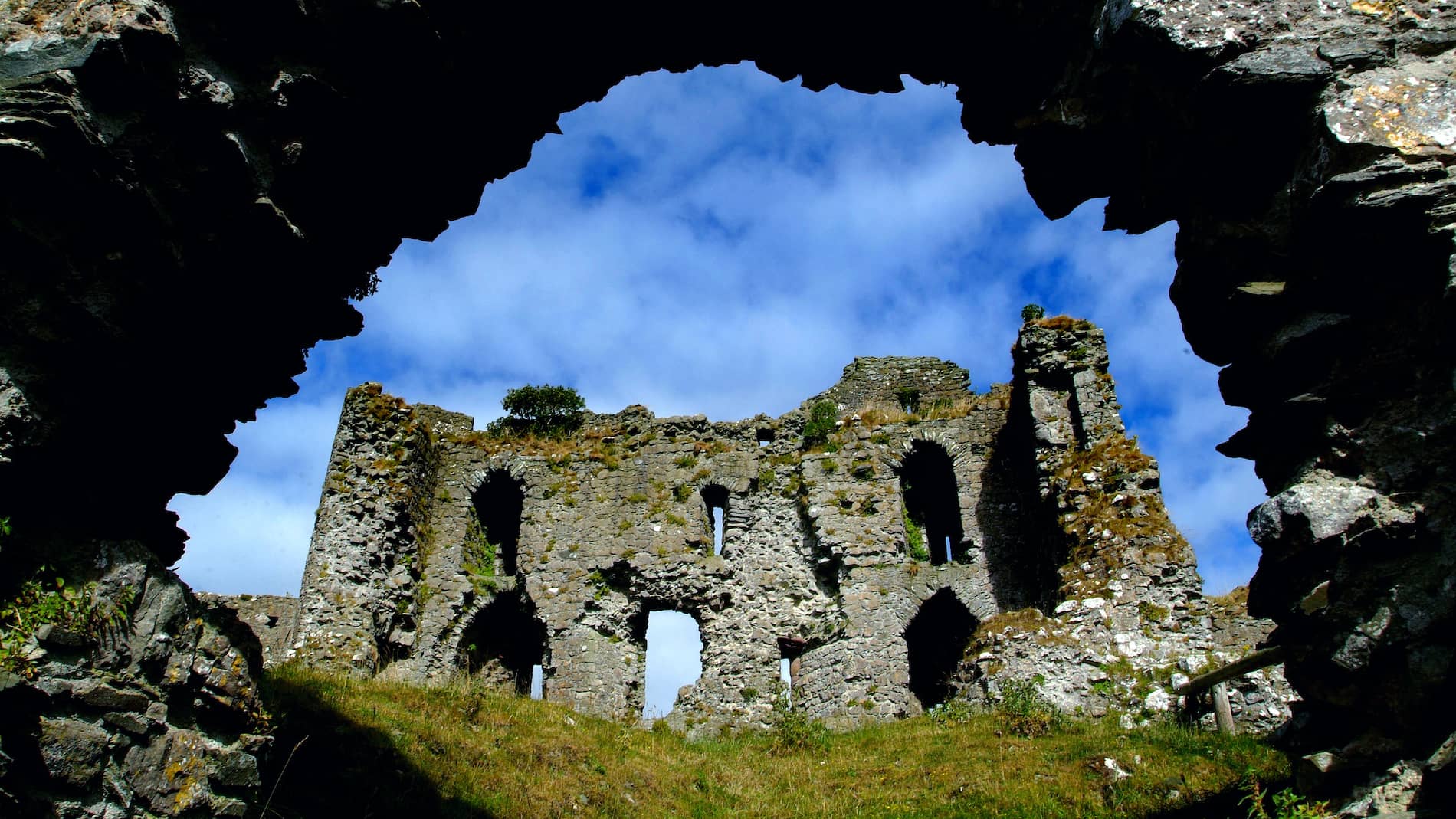 Man-made underground passage in CastlecarraghMan-made underground passage · 842 yd
 Mount Bagnell FoerCastle, motte and bailey · 913 yd
 Castletown Househouse · 1601 yd
 Cooley CastleCastle, tower house · 1616 yd
 The BushPicnic place · 1.1 mi
 Grange UpperMountain / peak · 1.6 mi
 SlievenagloghMountain / peak · 2.3 mi
 Carlingford - Loop 1A- Commons LoopWalking route · 3.3 mi
 Cooley PointHeadland · 3.3 mi
 Carlingford Heritage CentreVisitor information · 3.5 mi
Other information
Photo: Credit not shown in the picture search · Rights wording not checked; contact us if this picture should be removed