
What is recorded here
From the National Monuments Service (Archaeological Survey of Ireland) record LH024-008002
The monument record does not grant public access. Check the route and ask the landowner before entering private land.
- What survives
- Recorded monument
Places near here
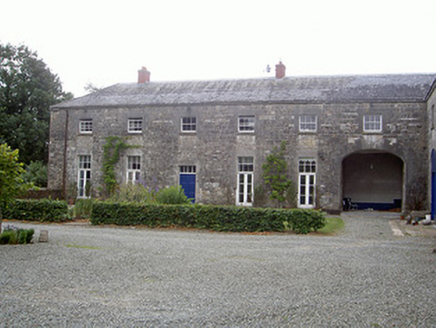 Townley HallOutbuilding · 887 yd
 Townley HallCountry house · 913 ydProudfootstown CastleCastle, unclassified · 1544 yd
 European Yew1.1 miEuropean Yew1.1 mi
_tussen_Jacobus_II_en_Willem_III,_12_juli_1690_Rijksmuseum_SK-A-605.jpeg/250px-De_slag_aan_de_Boyne_(Ierland)_tussen_Jacobus_II_en_Willem_III,_12_juli_1690_Rijksmuseum_SK-A-605.jpeg "Photo: Jan van Huchtenburgh, Wikimedia Commons · Public domain") Battle of the BoyneMajor battlefield · 1.1 mi
Battle of the BoyneMajor battlefield · 1.1 mi Battle of the Boyne Visitor CentreMuseum · 1.1 mi
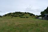 DowthNeolithic passage tomb · 1.3 mi
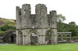 Mellifont AbbeyHeritage attraction · 1.6 mi
 Brú na Bóinne Visitors CentreVisitor information · 1.9 mi
 Newgrange TumulusPassage tomb · 2.1 mi
 Not indicatedPassage tomb · 2.1 mi
Pictures: National Inventory of Architectural Heritage; Elena Tatiana Chis, Wikimedia Commons · CC BY-SA 4.0; Sitomon, Wikimedia Commons · CC BY-SA 2.0; Jan van Huchtenburgh, Wikimedia Commons · Public domain; Colin Park, Geograph · CC BY-SA 2.0; William Ellison, Wikimedia Commons · CC BY-SA 4.0; Hopmans at nl.wikipedia, Wikimedia Commons · CC BY-SA 3.0; John M, Wikimedia Commons · CC BY-SA 2.0; Martin Richard Phelan, Geograph · CC BY-SA 2.0; John M, Geograph · CC BY-SA 2.0
More archaeology and monuments in County Louth · All of County Louth
What do you know about this place?