
What is recorded here
On the WSW slopes of Slieve Foye. Marked 'Sweat Ho.' on the 1:2500 OS map (surveyed 1907). All that remained when inspected in 1965 (ASI field notes) were the foundations of a small oval built structure (int. dims. 1.7m E-W; 1.35m N-S) with a narrow entrance (Wth 0.35m) at the SW.
Compiled by: Claire Breen
Date of upload: 22 November 2011
Linked to Saint Alluis, a lesser-known early Irish saint associated with healing and spiritual protection. The site's former designation as a "Sweat House" suggests it may have been used for ritual purification or cure of ailments, possibly involving water and heat, a tradition found in various holy well practices across Ireland.
The monument record does not grant public access. Check the route and ask the landowner before entering private land.
- What survives
- Recorded monument
Places near here
 Enclosure in GlenmoreEnclosure · 768 yd
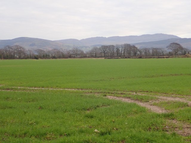 Slieve Foye North-West TopMountain / peak · 1559 yd
 Slieve FoyeMountain / peak · 1578 yd
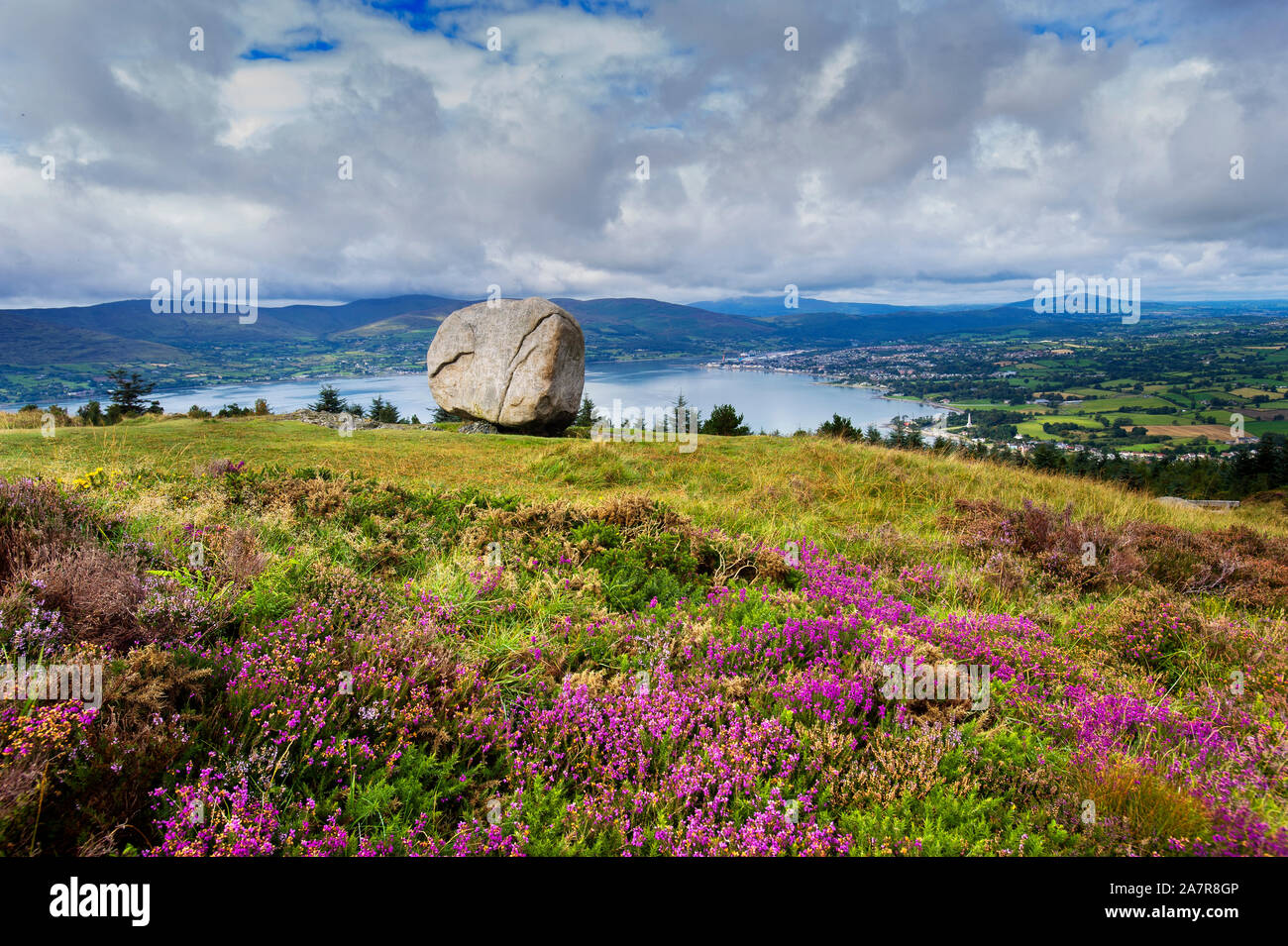 CloughmoreMass-rock · 1704 yd
 Carlingford - Slieve Foye LoopWalking route · 1.6 mi
 R.C. ChapelChurch · 1.6 mi
 Cooley MountainsMountain range · 1.8 mi
 Carlingford - Loop 1A- Commons LoopWalking route · 1.9 mi
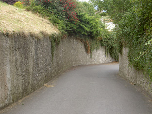 gates/railings/wallsgates/railings/walls · 2.0 mi
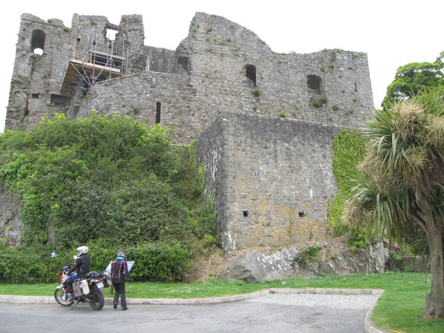 King Johns Castle in ruinsCastle, Anglo-Norman masonry castle · 2.1 mi
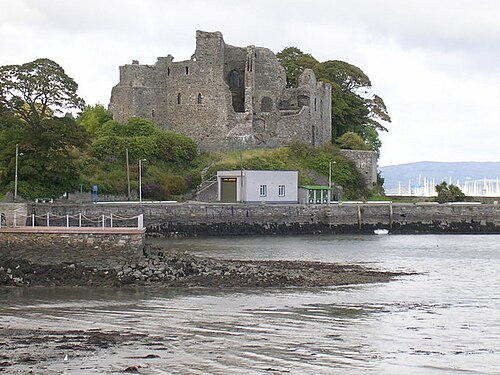 Carlingford CastleHeritage attraction · 2.1 mi
 Long Woman's GraveArchaeological place · 2.1 mi
Other information
Photo: Credit not shown in the picture search · Rights wording not checked; contact us if this picture should be removed