
What is recorded here
Marked 'St. Patrick's Stone' on the 1835 and 1938 'OS 6-inch' maps. A large natural boulder with three circular depressions, which, according to tradition are the prints of St. Patrick's knees and staff (Davies 1944, 296; IFC Schools' Mss 679, 181).
Compiled by: Claire Breen
Date of upload: 28 August 2012
Linked to St. Patrick, the depressions in the stone are traditionally believed to have been made by his knees and staff during a moment of prayer or preaching. Such sites often reflect early Christian folklore that localized the saint's legendary travels and miracles across Ireland.
The monument record does not grant public access. Check the route and ask the landowner before entering private land.
- What survives
- Recorded monument
Places near here
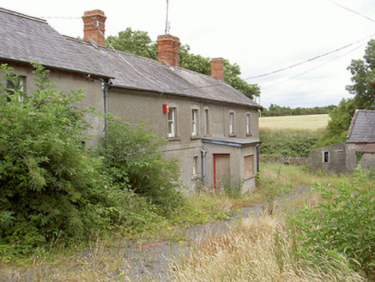 farm housefarm house · 829 yd
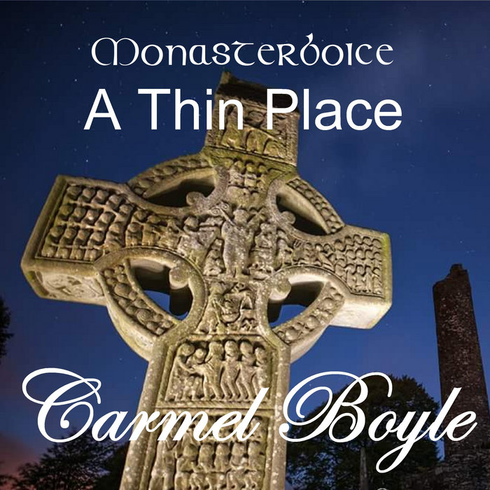 Toberboice WellHoly well · 957 yd
 Enclosure in MellEnclosure · 990 yd
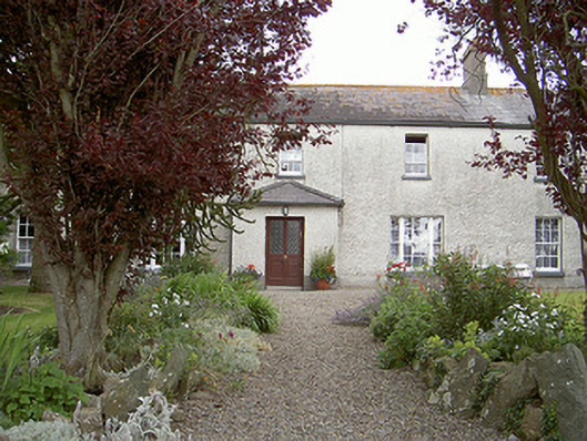 Drybridge Househouse · 1193 yd
 Yellow IslandIslet · 1518 yd
 Grove IslandIslet · 1.1 mi
 Newgrange Business ParkMemorial · 1.5 mi
 The ThoselMemorial · 1.5 mi
 Siege of Droghedasiege · 1.5 mi
 Millmount MuseumMuseum · 1.6 mi
 Battle of the Boyne Visitor CentreMuseum · 1.7 mi
 European YewEuropean Yew · 1.7 mi
Other information
Photo: Credit not shown in the picture search · Rights wording not checked; contact us if this picture should be removed