What is recorded here
Situated on a N-facing slope. The faint cropmark of a circular area (diam. c. 35m) defined by a single fosse feature is visible only on Google Earth (29/06/2018), but the fosse appears to be absent S-W. It was first reported by Anthony Murphy.
From the National Monuments Service (Archaeological Survey of Ireland) record LH010-023
The monument record does not grant public access. Check the route and ask the landowner before entering private land.
- What survives
- Recorded monument
Places near here
Man-made underground passage in AclintMan-made underground passage · 260 yd Annahean HouseHouse · 1208 ydFlat cemetery in AnnaheanFlat cemetery · 1381 ydSaint Malachy's Catholic ChurchChurch/chapel · 1.4 miMatthew's HillMountain / peak · 3.4 miLouthMountain / peak · 4.5 miMonkey-puzzle4.9 miEuropean Beech5.1 miSir Frederick Foster MemorialMemorial · 5.9 miThe College (in Ruins)College · 6.0 miCastleCastle, tower house · 6.0 miCastleCastle, tower house · 6.1 mi
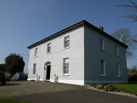 Annahean HouseHouse · 1208 ydFlat cemetery in AnnaheanFlat cemetery · 1381 yd
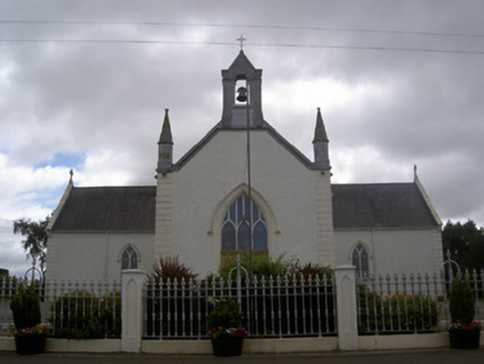 Saint Malachy's Catholic ChurchChurch/chapel · 1.4 miMatthew's HillMountain / peak · 3.4 miLouthMountain / peak · 4.5 mi
 Monkey-puzzle4.9 mi
 European Beech5.1 mi
 Sir Frederick Foster MemorialMemorial · 5.9 mi
 The College (in Ruins)College · 6.0 mi
 CastleCastle, tower house · 6.0 mi
 CastleCastle, tower house · 6.1 mi
Pictures: National Inventory of Architectural Heritage; Vicente Fernández Rioja, Wikimedia Commons · CC BY-SA 4.0; Malene Thyssen, Wikimedia Commons · CC BY-SA 3.0; Nuala Furley, Wikimedia Commons · CC BY-SA 4.0; Dasmuy, Wikimedia Commons · CC BY-SA 4.0; Eric Jones, Geograph · CC BY-SA 2.0
More archaeology and monuments in County Louth · All of County Louth
What do you know about this place?