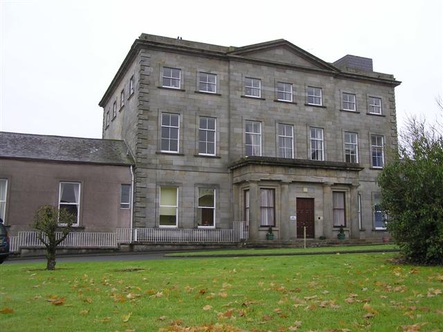
What is recorded here
Marked on Taylor and Skinner's map (1777) and the 1835 and 1912 OS 6-inch maps as 'St. Dennis's Well'. When inspected in 1966 by ASI it was described as a 'rectangular pool enclosed on three sides by mortared stone wall and roofed with double coating of two lintels (one of bottom pair has fallen into water)'. Set into a small cliff edge at about mid height'. According to MacCooey (1930, 184) it was once a place of pilgrimage and also the seat of the pattern. The water was believed to cure warts and corns (IFC Schools' Mss 675, 25).
Compiled by: Claire Breen
Date of upload: 03 August 2012
St. Denniss Well is associated with St. Dennis, a lesser-known early Irish saint, and was historically visited for its supposed healing properties, particularly for skin ailments and general well-being. The site's long-standing presence on maps from the 18th to the 20th century suggests a continuity of local reverence and tradition.
The monument record does not grant public access. Check the route and ask the landowner before entering private land.
- What survives
- Recorded monument
Places near here
 St. Denniss StoneRitual site, holy/saint's stone · 56 yd
 St. Denniss AlterMass-rock · 75 yd
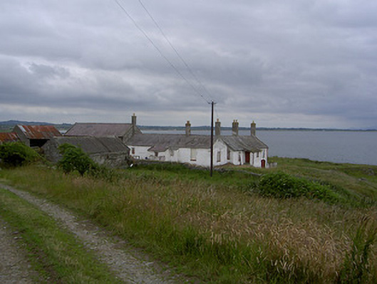 Killabushfarm house · 360 yd
 Church (in ruins)Church · 745 yd
 Castle RuinsCastle, tower house · 1659 yd
 Termonfeckin CastleCastle · 2.9 mi
 Chapel (in Ruins), GraveyardChurch · 3.8 mi
 Moneyveg WoodForest · 4.0 mi
 Graveyard in DysartGraveyard · 4.3 mi
 Sweet baySweet bay · 4.5 mi
 Tullydonnell HillMountain / peak · 5.2 mi
 Beaulieu House and GardensHeritage attraction · 5.4 mi
Other information
Photo: Credit not shown in the picture search · Rights wording not checked; contact us if this picture should be removed