
What is recorded here
Marked on the 1912 'OS 6-inch' map as 'St. Dennis's Stone'. According to a note in the SMR file (dated 18 July 1964), it was moved from location marked on 1912 map and placed over St. Dennis's well (LH022-005001-) and it was described as rectangular in shape with a very even surface. Probably a natural erratic.
Compiled by: Claire Breen
Date of upload: 03 August 2012
St. Dennis's Stone is associated with a holy well and is linked to the veneration of Saint Dennis, an early Christian martyr traditionally connected to France but venerated in various parts of Ireland. The stone was relocated to mark the site of the well, suggesting a tradition of pilgrimage or healing associated with the saint.
The monument record does not grant public access. Check the route and ask the landowner before entering private land.
- What survives
- Recorded monument
Places near here
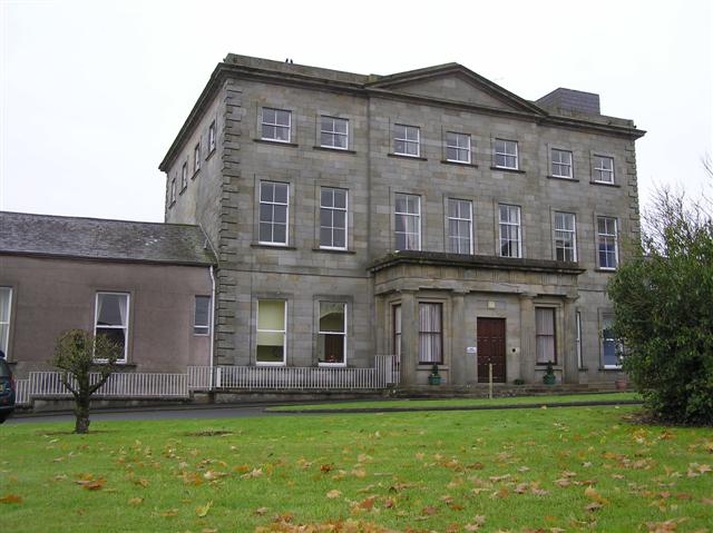 St. Denniss WellHoly well · 56 yd
 St. Denniss AlterMass-rock · 69 yd
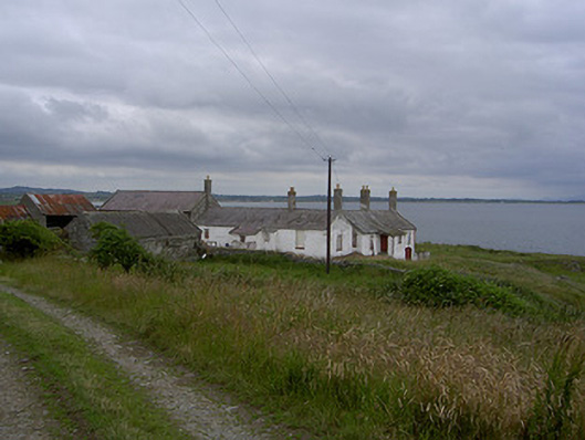 Killabushfarm house · 412 yd
 Church (in ruins)Church · 732 yd
 Castle RuinsCastle, tower house · 1630 yd
 Termonfeckin CastleCastle · 2.9 mi
 Chapel (in Ruins), GraveyardChurch · 3.8 mi
 Moneyveg WoodForest · 4.0 mi
 Graveyard in DysartGraveyard · 4.3 mi
 Sweet baySweet bay · 4.4 mi
 Tullydonnell HillMountain / peak · 5.2 mi
 Beaulieu House and GardensHeritage attraction · 5.4 mi
Other information
Photo: Credit not shown in the picture search · Rights wording not checked; contact us if this picture should be removed