
What is recorded here
Illustrated by Wright (1758, bk II, pl. XIV) as complete with rectangular corner-tower, now the only remains are those of the NW angle-tower. The tower, which is three storeys high, shows clear evidence of where the W wall of the main tower house has been broken away at the E end of the N face. The tower must have projected by c. 2.5m W from the line of the wall of the main building. The tower contains the remains of a stairwell which gave access to the first- and second-floor levels. There is also evidence for an E-W vault in the broken S face of the tower, but it is too small to have been that of the main ground-floor area and would appear to be the remains of the entranceway in the S end of the W wall. The tower is built of roughly coursed limestone rubble and greywacke. It has three slit opes with embrasures in the W wall and two in the N. (Murphy 1895, 318; CLAHJ 1921, 28)
The above description is derived from both the published 'Archaeological Inventory of County Louth' (Dublin: Stationery Office, 1986) and the 'Archaeological Survey of County Louth' (Dublin: Stationery Office, 1991).
Illustrated by Wright (1758, bk II, pl. XIV) as complete with rectangular corner-tower, now the only remains are those of the NW angle-tower. The tower, which is three storeys high, shows clear evidence of where the W wall of the main tower house has been broken away at the E end of the N face. The tower must have projected by c. 2.5m W from the line of the wall of the main building. The tower contains the…
From the National Monuments Service (Archaeological Survey of Ireland) record LH018-023
The monument record does not grant public access. Check the route and ask the landowner before entering private land.
- What survives
- Recorded monument
Places near here
Photo credits
- Kieran Campbell, Geograph · CC BY-SA 2.0
- National Inventory of Architectural Heritage
- Kieran Campbell, Geograph · Creative Commons Attribution-ShareAlike 2.0
- Maker named on the Wikimedia Commons picture page · CC BY-SA 3.0
- Sitomon, Wikimedia Commons · CC BY-SA 2.0
- Mike Searle, Geograph · CC BY-SA 2.0
- Oliver Dixon, Geograph · CC BY-SA 2.0
- Andreas F. Borchert, Wikimedia Commons · CC BY-SA 4.0
- Adriao, Wikimedia Commons · CC BY-SA 4.0
 Church (in Ruins)Church · 175 yd
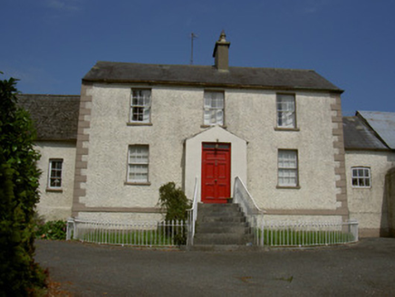 Clonmore HouseFarm house · 517 yd
 Graveyard in DysartGraveyard · 1.1 mi
 BarmeathCastle, tower house · 1.4 mi
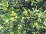 Sweet bay1.4 mi
 European Yew1.5 mi
 IndicatedGraveyard · 2.5 mi
 ToberanelshyHoly well · 3.7 mi
 Athclare CastleCastle, tower house · 3.9 mi
 Port OrielPicnic place · 4.6 mi
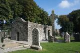 MonasterboiceEarly monastic site · 6.1 mi
 Muiredach's High CrossHeritage attraction · 6.1 mi
More castles and forts in County Louth · All of County Louth
What do you know about this place?