
What is recorded here
Semi-circular shaped graveyard (map dims. 38m E-W; 26m N-S) with remains of church (LH016-003001-) at NW.
From the National Monuments Service (Archaeological Survey of Ireland) record LH016-003002
The monument record does not grant public access. Check the route and ask the landowner before entering private land.
- What survives
- Recorded monument
Places near here
 Church in ruinsChurch · 7 yd
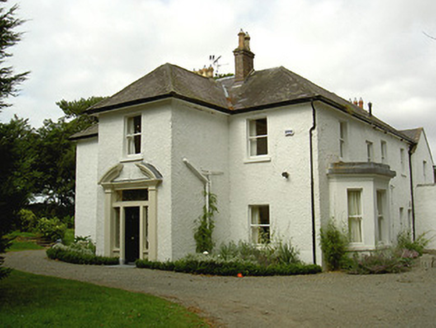 Ballygassan HouseHunting/fishing lodge · 1.7 mi
 IndicatedCastle, tower house · 2.5 miTullydonnell HillMountain / peak · 2.8 mi
 Graveyard in DysartGraveyard · 3.3 mi
 GreenmountCastle, motte and bailey · 3.4 mi
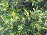 Sweet bay3.6 mi
 European Yew3.6 miDrummeenagh HillMountain / peak · 4.4 miChapel (in Ruins), GraveyardChurch · 4.8 mi
 Graveyard5.1 mi
 Round tower in DromiskinRound tower · 5.1 mi
Pictures: Kieran Campbell, Geograph · CC BY-SA 2.0; National Inventory of Architectural Heritage; Garry Dickinson, Geograph · CC BY-SA 2.0; Kieran Campbell, Geograph · Creative Commons Attribution-ShareAlike 2.0; Maker named on the Wikimedia Commons picture page · CC BY-SA 3.0; Sitomon, Wikimedia Commons · CC BY-SA 2.0; Darrin Antrobus, Geograph · Creative Commons Attribution-ShareAlike 2.0; Kieran Campbell, Wikimedia Commons · CC BY-SA 2.0
More archaeology and monuments in County Louth · All of County Louth
What do you know about this place?