What is recorded here
The following description is derived from both the published 'Archaeological Inventory of County Louth' (Dublin: Stationery Office, 1986) and the 'Archaeological Survey of County Louth' (Dublin: Stationery Office, 1991). dims. 13m E-W, 5m N-S). Double wall at W gable, the outer one being 0.5m thick and the inner one 0.7m. E window not extant and only foundation level of gable wall survives. E end of N wall has the remains of a splayed window which extends down close to ground level, and has a two-centred arch of greywacke with central keystone. The church is fifteenth- or sixteenth-century in date and the Visitation of 1692 states that it was in disrepair. (CLAJ 1919, 338; CLAJ 1944, 278).
From the National Monuments Service (Archaeological Survey of Ireland) record LH018-046001
The monument record does not grant public access. Check the route and ask the landowner before entering private land.
- What survives
- Recorded monument
Places near here
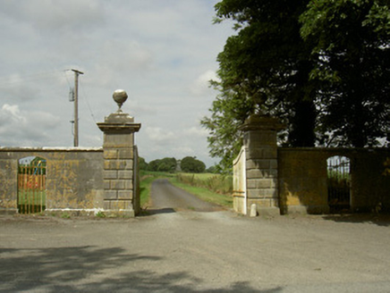 Rokeby HallGates/railings/walls · 738 yd
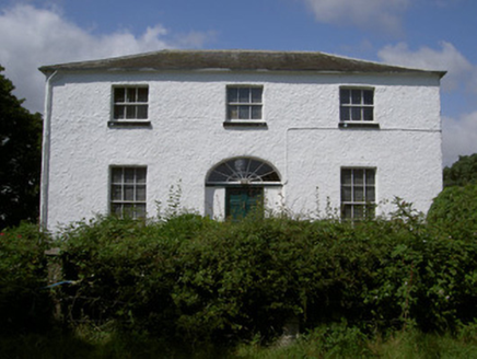 Glebe HouseRectory/glebe/vicarage/curate's house · 991 yd
 Sweet bay1.4 mi
 BarmeathCastle, tower house · 1.4 mi
 European Beech1.4 mi
 Graveyard in DysartGraveyard · 1.5 mi
 ToberanelshyHoly well · 1.6 mi
 IndicatedCastle, tower house · 2.4 mi
 CrossCross, High cross · 4.0 mi
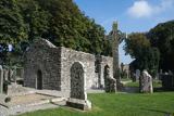 MonasterboiceEarly monastic site · 4.1 mi
 Muiredach's High CrossHeritage attraction · 4.1 mi
 Port OrielPicnic place · 4.5 mi
Pictures: National Inventory of Architectural Heritage; Maker named on the Wikimedia Commons picture page · CC BY-SA 3.0; Kieran Campbell, Geograph · CC BY-SA 2.0; Malene Thyssen, Wikimedia Commons · CC BY-SA 3.0; Kieran Campbell, Geograph · Creative Commons Attribution-ShareAlike 2.0; Garry Dickinson, Geograph · CC BY-SA 2.0; Andreas F. Borchert, Wikimedia Commons · CC BY-SA 4.0; Adriao, Wikimedia Commons · CC BY-SA 4.0; Oliver Dixon, Geograph · CC BY-SA 2.0
More memorials and graveyards in County Louth · All of County Louth
What do you know about this place?