
What is recorded here
Marked on the 1912 'OS 6-inch' map as 'Toberanelshy'. Also referred to as 'Tober an Eleshy' (Stubbs 1908, 40).
From the National Monuments Service (Archaeological Survey of Ireland) record LH021-011
The monument record does not grant public access. Check the route and ask the landowner before entering private land.
- What survives
- Recorded monument
Places near here
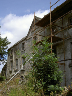 Cartanstown HouseHouse · 1318 yd
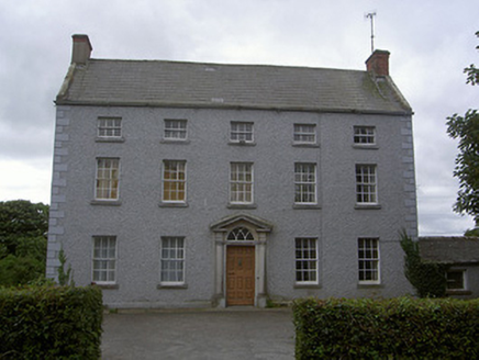 Stone HouseHouse · 1430 ydChapel (in Ruins), GraveyardChurch · 1.6 mi
 Athclare CastleCastle, tower house · 1.8 mi
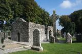 MonasterboiceEarly monastic site · 2.5 mi
 Stone CrossesCross, High cross · 2.5 mi
 Muiredach's High CrossHeritage attraction · 2.5 mi
 Round Tower2.5 miBarabonaMountain / peak · 3.3 mi
 IndicatedCastle, tower house · 3.7 mi
 Pedunculate Oak5.1 mi
 European ash5.5 mi
Pictures: National Inventory of Architectural Heritage; Mike Searle, Geograph · CC BY-SA 2.0; Andreas F. Borchert, Wikimedia Commons · CC BY-SA 4.0; Lior Kogan, Wikimedia Commons · CC BY-SA 4.0; Adriao, Wikimedia Commons · CC BY-SA 4.0; Willard Rome, Geograph · CC BY-SA 2.0; Garry Dickinson, Geograph · CC BY-SA 2.0; Algirdas at Lithuanian Wikipedia, Wikimedia Commons · Public domain; Willow, Wikimedia Commons · CC BY 2.5
More archaeology and monuments in County Louth · All of County Louth
What do you know about this place?