
What is recorded here
Situated on a high E-W ridge, which has been scarped to produce a large impressive site consisting of an oval mound (max. diam. of base 28-36m; at summit 11-12m, H 3.4-5.6m) with a roughly D-shaped bailey (max. dims c. 65m E-W, c. 55m N-S, H c. 6m) at the E side. The mound is well preserved from SW to NE but elsewhere it has been quarried in relatively recent times so that its original shape and size are uncertain. The S side has also been ploughed out so that the outline of the motte is not well defined. There is a berm at the N side of the mound on which are the remains of a bank that has been partly defaced by quarrying. To the N of the motte and bailey the ridge has been scarped as part of the defences. A modern field fence and laneway have partly destroyed the E and S sides of the bailey escarpments which define the enclosure. The S side of the motte was mutilated by 'excavations' in the nineteenth century (Lefroy 1871, 471-502) and various artefacts were recovered, including a bronze axe and a bronze sword plate with a runic inscription, which translated reads 'Domnal Seals-head owned this sword'. During the course of these diggings a Man-made underground passage (LH015-012002-) was discovered. There are the remains of a rectangular enclosure defined by a low earthen bank (int. dims 11m E-W, 3.5m N-S, bank Wth 2.3m, max. H 0.9m) in the SW portion of the bailey, but it is probably of a much later date. (Wright 1758, bk I, 9, pls X, XI; Lefroy 1871, 471-502; O'Kelly and Morris 1905, 21-2)
This is a National Monument: No. 144. See the attached view from N
Date of upload: 17 July 2007
Situated on a high E-W ridge, which has been scarped to produce a large impressive site consisting of an oval mound (max. diam. of base 28-36m; at summit 11-12m, H 3.4-5.6m) with a roughly D-shaped bailey (max. dims c. 65m E-W, c. 55m N-S, H c. 6m) at the E side. The mound is well preserved from SW to NE but elsewhere it has been quarried in relatively recent times so that its original shape and size are…
From the National Monuments Service (Archaeological Survey of Ireland) record LH015-012001
The monument record does not grant public access. Check the route and ask the landowner before entering private land.
- What survives
- Recorded monument
Places near here
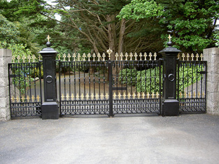 Greenmount LodgeGates/railings/walls · 303 yd
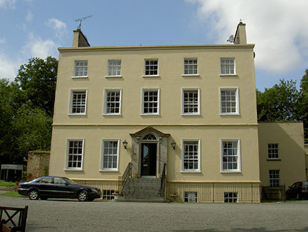 Spencer HouseRectory/glebe/vicarage/curate's house · 807 ydDrummeenagh HillMountain / peak · 1.9 miTullydonnell HillMountain / peak · 3.0 mi
 Graveyard3.1 mi
 Round tower in DromiskinRound tower · 3.1 mi
 CastleCastle, motte · 3.1 mi
 Graveyard in Richardstown (ardee By., Richardstown Par.)Graveyard · 3.3 mi
 Monterey Cypress3.3 mi
 Richardstown CastleCastle, tower house · 3.4 mi
 European Beech4.0 mi
 Graveyard in DysartGraveyard · 4.1 mi
Pictures: National Inventory of Architectural Heritage; Darrin Antrobus, Geograph · Creative Commons Attribution-ShareAlike 2.0; Kieran Campbell, Wikimedia Commons · CC BY-SA 2.0; Kieran Campbell, Geograph · Creative Commons Attribution-ShareAlike 2.0; Vadim Manuylov, Wikimedia Commons · CC BY-SA 3.0; Mike Searle, Geograph · CC BY-SA 2.0; Malene Thyssen, Wikimedia Commons · CC BY-SA 3.0
More castles and forts in County Louth · All of County Louth
What do you know about this place?