
What is recorded here
According to Stubbs (CLAJ 1921, 29) a fort known as 'the Dún' stood at Dunany Point but was destroyed by coastal erosion. No visible surface traces.
The following description is derived from both the published 'Archaeological Inventory of County Louth' (Dublin: Stationery Office, 1986) and the 'Archaeological Survey of County Louth' (Dublin: Stationery Office, 1991). In certain instances the entries have been revised and updated in the light of recent research.
Date of upload/revision: 17 July 2007
This remains an important historical record, but the official description says the monument is no longer visible or has been destroyed. The monument record does not grant public access. Check the route and ask the landowner before entering private land.
- What survives
- No visible remains or recorded as destroyed
Places near here
 Old ChurchChurch · 1166 yd
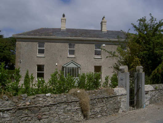 Seagrave Househouse · 1222 yd
 Enclosure in DraghanstownEnclosure · 1.2 mi
 Enclosure in MitchellstownEnclosure · 1.5 mi
 IndicatedCastle, tower house · 3.3 mi
 Graveyard in DysartGraveyard · 4.3 mi
 Tullydonnell HillMountain / peak · 4.4 mi
 Moneyveg WoodForest · 4.5 mi
 CastleCastle, unclassified · 4.5 mi
 Sweet baySweet bay · 4.6 mi
 Chapel (in Ruins), GraveyardChurch · 5.3 mi
 MonasterboiceEarly monastic site · 9.3 mi
Other information
Photo: Credit not shown in the picture search · Rights wording not checked; contact us if this picture should be removed