
What is recorded here
Marked on Taylor and Skinner's map (1777) and named 'St. John's Well' on the 1835 'OS 6-inch' map. The 1938-9 'OS 6-inch' map records it as 'St. John's Well (Covered)'. Also known as Tober Eonan and Tober Ronan. Rebuilt in 1908 (CLAJ 1952, 230). Described in 1966 as a rectangular pool, covered by a high-pitched roofed house, constructed of stone and concrete, with a lintelled doorway to E (H 1.38m) and small lintelled window to W (H 0.20m) (ASI field notes). Pattern was held 'up to the last century when it was barred by the parish priest' (Tempest 1952, 63).
Reference:
Tempest, H.G. 1952 Gossiping guide to Co. Louth (3 parts). Dundalk. Dundalgan Press.
Compiled by: Claire Breen
Date of upload: 23 November 2011
Linked to St. Ronan (or Ronan the Red), an early Irish saint associated with healing wells, the well is traditionally connected with cures for skin ailments and general wellness. The name Tober Eonan (Well of Ronan) reflects its long-standing Christian and folkloric significance in the region.
The monument record does not grant public access. Check the route and ask the landowner before entering private land.
- What survives
- Recorded monument
Places near here
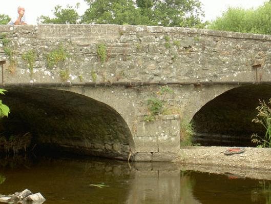 Saint John's Bridgebridge · 119 yd
 Enclosure in BalrigganEnclosure · 423 yd
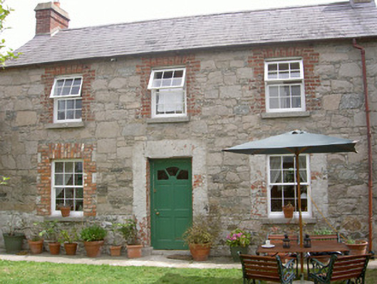 Mill Cottagegate lodge · 557 yd
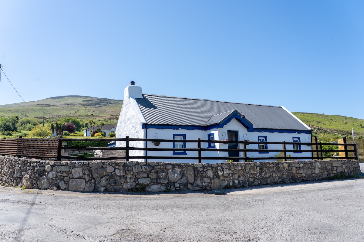 Embanked enclosure in BalreganEmbanked enclosure · 604 yd
 Balregan CastleCastle, tower house · 1010 yd
 CastleCastle, unclassified · 1157 yd
 Dundalk CentralHeritage attraction · 1.7 mi
 Photo GalleryHeritage attraction · 1.8 mi
 Maid of ErinMemorial · 1.8 mi
 Bombing 1975Memorial · 1.8 mi
 Battle of FaughartMajor battlefield · 2.2 mi
 MonascreebeMountain / peak · 2.6 mi
Other information
Photo: Credit not shown in the picture search · Rights wording not checked; contact us if this picture should be removed