
What is recorded here
Aerial photograph (GB90.BZ.17) shows cropmark of an incomplete circular enclosure defined by a fosse. It is plough-levelled and bisected by the modern road. First recorded as a positive cropmark in July 1990.
Compiled by: Dr Gillian Barrett for the Archaeological Survey of Ireland.
Date of upload: 26 May 2010
The monument record does not grant public access. Check the route and ask the landowner before entering private land.
- What survives
- Recorded monument
Places near here
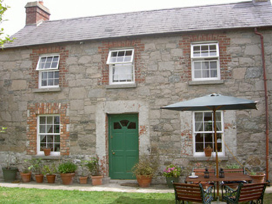 Mill Cottagegate lodge · 139 yd
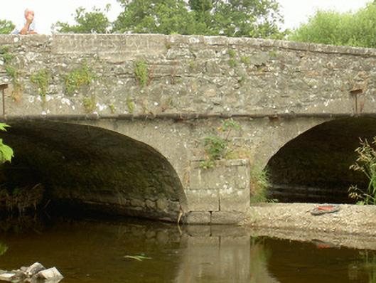 Saint John's Bridgebridge · 367 yd
 St. Johns Well (Covered)Holy well · 423 yd
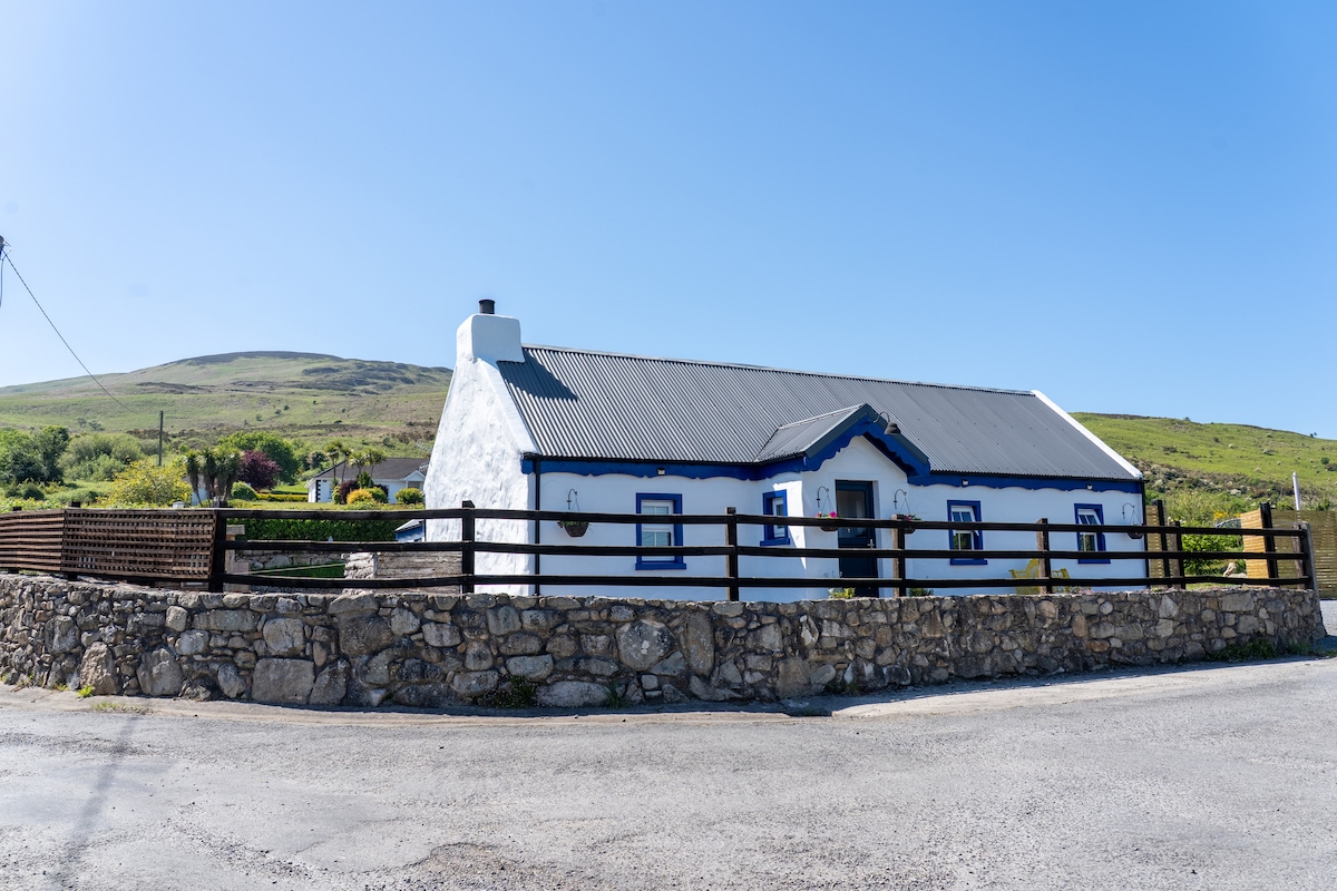 Embanked enclosure in BalreganEmbanked enclosure · 693 yd
 Balregan CastleCastle, tower house · 974 yd
 CastleCastle, unclassified · 1504 yd
 Dundalk CentralHeritage attraction · 1.8 mi
 Maid of ErinMemorial · 1.9 mi
 Photo GalleryHeritage attraction · 1.9 mi
 Bombing 1975Memorial · 1.9 mi
 Battle of FaughartMajor battlefield · 1.9 mi
 MonascreebeMountain / peak · 2.4 mi
Other information
Photo: Credit not shown in the picture search · Rights wording not checked; contact us if this picture should be removed