What is recorded here
Wright describes and illustrates this, calling it site 'B', a 'Burying place or sort of family sepulchre' (1758, 7, pl. 1). No visible surface trace.
Partially excavated in advance of the 'M1 Dundalk Western Bypass - Northern Link' (Excavation Licence No. 03E0157). An arc of two ditches (internal ditch: max. Wth 3m; max. D 1.9m; external ditch: max. Wth 2m; max. D 1.5m) on either side of an encompassing bank (Wth 5m) was uncovered. This arc represented c. 15% of a circular enclosure (estimated int. diam. c. 46m; ext. diam. 57m), the remaining part was preserved in-situ outside the road take. The remains of the bank consisted of a layer of water-rolled stones that is thought to have formed its foundation. A possible entrance way was identified in the S/SE. Over 1000 sherds of prehistoric pottery were found, over 500 of which came from the bank. A number of pits which contained sherds of burnt Neolithic pottery were discovered just outside the enclosure. The socket from a possible standing stone (LH007-001010-) and a barrow (LH007-001011-) were also discovered. (O'Donnchadha B. 2005; O'Donnchadha B. 2006, 324)
References:
O'Donnchadha B. 2005 Dundalk Western Bypass: Site 116: Balregan 1 Chainage 23.470 - 22.600 Post-Excavation assessment and updated project design on behalf of Louth County Council and the National Roads Authority, Licence Number 03E0157. Unpublished Report DAHG, Irish Archaeological Consultancy Ltd.
O'Donnchadha B. 2006 'Balregan Henge' in I. Bennett (ed.), Excavations 2003: summary accounts of archaeological excavations in Ireland, 324 (No. 1221). Bray. Wordwell
Wright, T. 1758 Louthiana: or an introduction to the antiquities of Ireland. London. Thomas Payne.
Compiled by: Claire Breen
Date of upload: 23 November 2011
A local fairy fort (ringfort/rath); wider significance not recorded.
The monument record does not grant public access. Check the route and ask the landowner before entering private land.
- What survives
- Recorded monument
Places near here
 Balregan CastleCastle, tower house · 426 yd
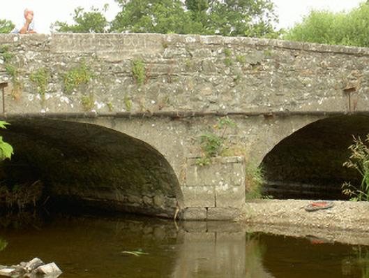 Saint John's Bridgebridge · 502 yd
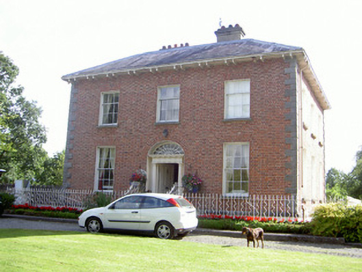 Water Lodgemiller's house · 567 yd
 St. Johns Well (Covered)Holy well · 604 yd
 Enclosure in BalrigganEnclosure · 693 yd
 CastleCastle, unclassified · 1654 yd
 Dundalk CentralHeritage attraction · 2.0 mi
 Photo GalleryHeritage attraction · 2.1 mi
 Maid of ErinMemorial · 2.1 mi
 Bombing 1975Memorial · 2.2 mi
 Battle of FaughartMajor battlefield · 2.2 mi
 MonascreebeMountain / peak · 2.5 mi
Other information
Photo: Credit not shown in the picture search · Rights wording not checked; contact us if this picture should be removed