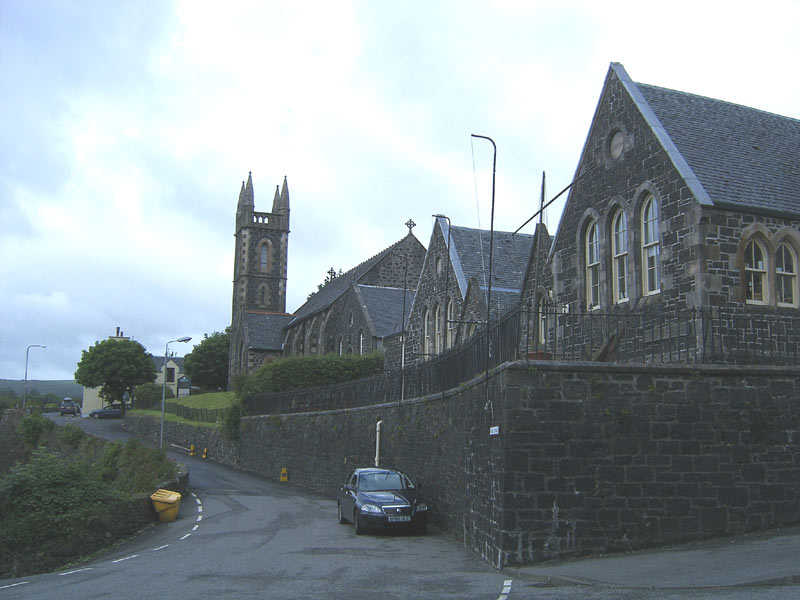
What is recorded here
Marked as 'Tobar na Solais' on the 1835 and 1912 'OS 6-inch' maps. Also known as St. 'Finan's Well' in the 19th century. According to legend the wells position moved overnight due to butchers polluting it by washing the viscera of animals in it and that lights were seen across the fields as it moved to where it is now. Its waters were believed to benefit those with sore eyes. (Ribton Garstin 1916, 100). The well was closed over at time of inspection by ASI in 1967 but a whitethorn tree was noted and a natural spring flowed into the Barnattin river.
Compiled by: Claire Breen
Date of upload: 19 July 2012
Tobar na Solais, also known historically as St. Finan's Well, is associated with the saintly figure St. Finan, traditionally linked to early Christian missionary activity in the region. Local folklore recounts that the well's position mysteriously shifted overnight to avoid contamination by butchers who were washing meat there.
The monument record does not grant public access. Check the route and ask the landowner before entering private land.
- What survives
- Recorded monument
Places near here
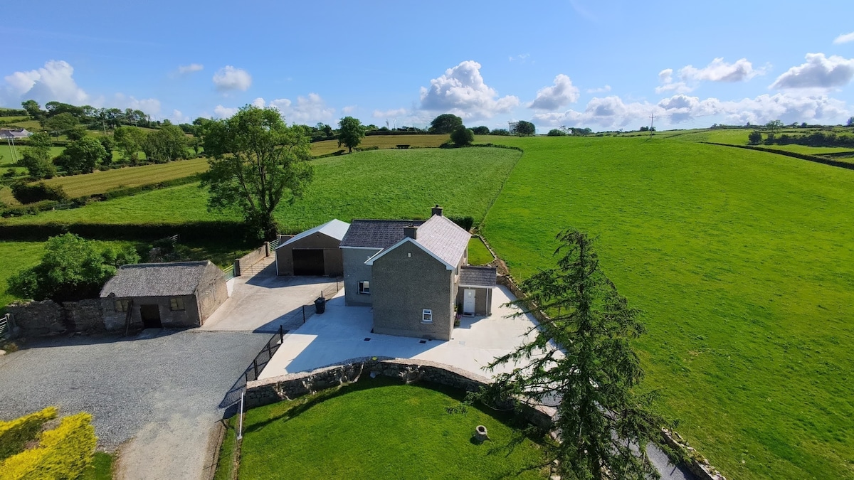
 Structure in BalgatheranStructure · 631 yd
 Hut site in BalgatheranHut site · 681 yd
 Killineer Housegate lodge · 1588 yd
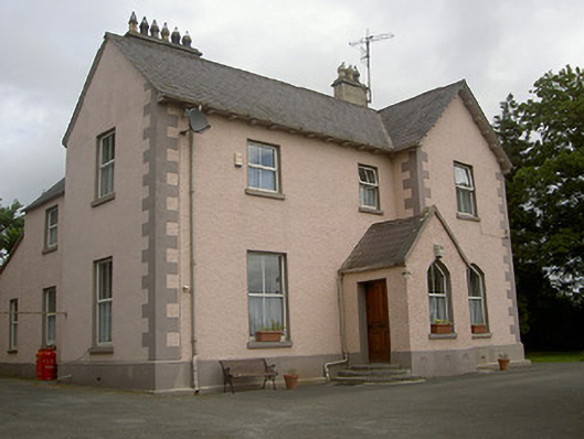 presbytery/parochial/curate's housepresbytery/parochial/curate's house · 1715 yd
 Grove IslandIslet · 1.7 mi
 Battle of the Boyne Visitor CentreMuseum · 1.8 mi
 Yellow IslandIslet · 1.8 mi
 Battle of the BoyneMajor battlefield · 1.8 mi
 European YewEuropean Yew · 1.9 mi
 Drummond TowerCastle · 2.0 mi
 Quarry Garden WoodForest · 2.0 mi
 MonasterboiceEarly monastic site · 2.3 mi
Other information
Photo: Credit not shown in the picture search · Rights wording not checked; contact us if this picture should be removed