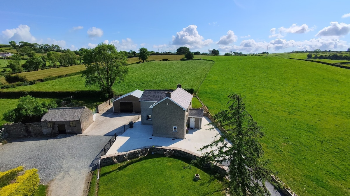
What is recorded here
Discovered prior to road construction (Excavation Licence No. 00E0477). An area measuring c. 4800sq m was excavated (Chapple 2002, 210-12). A variety of different structures and phases of activity were identified. Two large boundary ditches (LH021-065001- and LH021-065002-), an industrial site (LH021-065003-), a hut site (LH021-065004-) and a kiln (LH021-065005-) date to the Early Christian period. Three structures (LH021-065006-, LH021-065007- and LH021-065008-) date to the Medieval period.
This hut site (LH021-065004-) was located between two ditches (LH021-065001- and LH021-065002-) and immediately N of the inner ditch (LH021-065002-). Composed of two arcing cuts, one of which had two postholes cut into its base. These two cuts appeared to be part of a circular structure with a diam. of c. 4m. (Chapple 2002, 211)
Compiled by: Claire Breen
Date of upload: 20 July 2012
The monument record does not grant public access. Check the route and ask the landowner before entering private land.
- What survives
- Recorded monument
Places near here
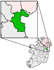 Structure in BalgatheranStructure · 58 yd
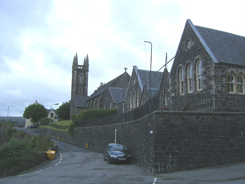 Tobar na SolaisHoly well · 681 yd
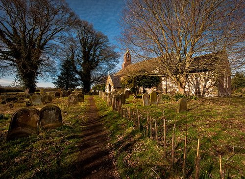 Church in CoolforeChurch · 1249 yd
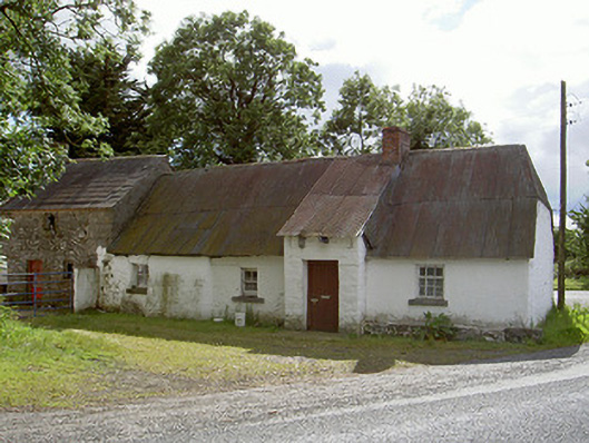 Halfway Househouse · 1278 yd
 Drummond TowerCastle · 1.6 mi
 Quarry Garden WoodForest · 1.8 mi
 Battle of the Boyne Visitor CentreMuseum · 1.8 mi
 Battle of the BoyneMajor battlefield · 1.9 mi
 Grove IslandIslet · 1.9 mi
 School WoodForest · 1.9 mi
 MonasterboiceEarly monastic site · 2.0 mi
 Muiredach's High CrossHeritage attraction · 2.0 mi
Other information
Photo: Credit not shown in the picture search · Rights wording not checked; contact us if this picture should be removed