
What is recorded here
Marked on the 1938 'OS 6-inch' map as 'Toberdoney'. The OS Letters refer to a well called Tober Domhnaigh at which a station was formerly held (CLAJ 1927, 129). It was also known locally as St. Flannel's Well in the 1930's (Irish Folklore Commission Schools' Manuscripts 668, 381). Located in low marshy ground. It is an irregular-shaped, visible spring, roughly enclosed by a few very small boulders. Some small whitethorns grow on E side and a large ash sapling has fallen from which rosary beads, medals and buttons are hanging. A piece of old railway sleeper beside the well possibly for kneeling on. (ASI field notes, 10 May 1967)
Compiled by: Claire Breen
Date of upload: 20 June 2012
Linked to St. Flannel (Fionnán), the well was a site of pilgrimage and healing, particularly for skin ailments. The name Tober Domhnaigh suggests a connection to St. Domnall, but local tradition in the early 20th century associated it with St. Flannel, reflecting a common practice of folk identification of holy wells with saints.
The monument record does not grant public access. Check the route and ask the landowner before entering private land.
- What survives
- Recorded monument
Places near here
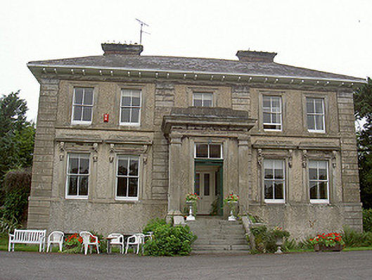 Shanlis Housecountry house · 800 yd
 Enclosure in BallygowanEnclosure · 957 yd
 Enclosure in ShanlisEnclosure · 1060 yd
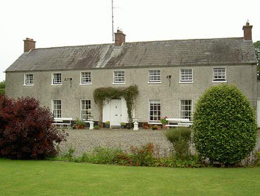 Curraghbeg Housecountry house · 1160 yd
 Screedoge HillMountain / peak · 1676 yd
 CastleCastle, unclassified · 1.0 mi
 European White ElmEuropean White Elm · 1.4 mi
 Sir Frederick Foster MemorialMemorial · 1.8 mi
 Valley WoodWood · 1.9 mi
 Yellow HillMountain / peak · 2.0 mi
 Site of Mullanstown CastleCastle, unclassified · 2.1 mi
 Graveyard in StickillinGraveyard · 3.1 mi
Other information
Photo: Credit not shown in the picture search · Rights wording not checked; contact us if this picture should be removed