What is recorded here
Mentrim’s fairy fort stands on a small drumlin above the Corkey River, marked by a thirty-metre ring that once showed through cereal growth. The field name Crocksmothy preserves the Hill of the mound, while ploughing has repeatedly thrown up animal bones and human remains. Its earthworks still trace a circular boundary in aerial images, suggesting that the mound resisted forgetting even as farms consumed it.
Situated on a small drumlin with the SSE-NNW Corkey River and the county boundary with Louth c. 100m to the E. Animal bones were discovered in ploughing this field, and there was local knowledge of an extended inhumation discovered there in the 1930s. During that decade when it was under a cereal crop a ring of higher growth (diam. c. 30m) encircling the summit was known locally. The field is called ‘Crocksmothy’ according to the Meath Field Names Project, for which see this web-page accessed on 26/09/2018: http://www.meathfieldnames.com/ This is derived from ‘Cnoc a Mhóta’ – Hill of the mound. No animal bones were recovered in field walking in 1993 when it was ploughed, but a circular cropmark defined by a fosse feature, with an outer fosse W-N is visible on OSI aerial images (1995, 2000). It is also visible on Google Earth (29/06/2018).
Compiled by: Michael Moore
Date of upload: 30 October 2018
A fairy fort or earthen ringfort in Mentrim, likely an early-medieval agricultural or defensive site, is associated with local folklore of fairies and is situated near a river and county boundary, which may have had ritual or symbolic significance. The discovery of animal bones and an extended inhumation suggests possible domestic or burial activity.
The monument record does not grant public access. Check the route and ask the landowner before entering private land.
- What survives
- Recorded monument
Places near here
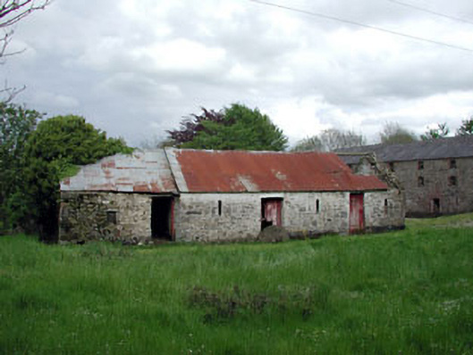 outbuildingoutbuilding · 405 yd
 mill (water)mill (water) · 464 yd
 Enclosure in ShanlisEnclosure · 553 yd
 Enclosure in MandistownEnclosure · 889 yd
 Screedoge HillMountain / peak · 1089 yd
 CastleCastle, unclassified · 1.3 mi
 Yellow HillMountain / peak · 1.6 mi
 Valley WoodWood · 1.9 mi
 European White ElmEuropean White Elm · 2.4 mi
 Site of Old CastleCastle, unclassified · 2.6 mi
 Sir Frederick Foster MemorialMemorial · 2.8 mi
 Graveyard in StickillinGraveyard · 4.1 mi