
What is recorded here
Situated on a rise in a low-lying landscape between drumlins. A circular feature (diam. c. 30-40m) that might be defined by a fosse is visible on aerial photographs (GSIAP: N 674, 675), but its nature is unclear and it has not appeared on other images.
Compiled by: Michael Moore
Date of upload: 26 October 2018
Amended: 22 November 2022
A local fairy fort (ringfort/rath); wider significance not recorded.
The monument record does not grant public access. Check the route and ask the landowner before entering private land.
- What survives
- Recorded monument
Places near here
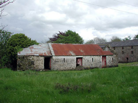 outbuildingoutbuilding · 1100 yd
 mill (water)mill (water) · 1147 yd
 Enclosure in ShanlisEnclosure · 1425 yd
 Enclosure in BigstownEnclosure · 1746 yd
 Screedoge HillMountain / peak · 1.1 mi
 Yellow HillMountain / peak · 1.4 mi
 CastleCastle, unclassified · 1.8 mi
 MoatCastle, motte and bailey · 2.1 mi
 Valley WoodWood · 2.2 mi
 European White ElmEuropean White Elm · 2.9 mi
 Sir Frederick Foster MemorialMemorial · 3.2 mi
 Graveyard in StickillinGraveyard · 4.6 mi
Other information
Photo: Credit not shown in the picture search · Rights wording not checked; contact us if this picture should be removed