
What is recorded here
A castle at Hurlestowne (63) in Smermer parish is depicted on the Down Survey (1656-8) barony map close to the boundary with Purcellstowne, for which see this web-page accessed on 9 May, 2016 http://downsurvey.tcd.ie/down-survey-maps.php#bm=Atherdee&c=Louth. There is a local tradition of castle which was reputed to be a Taffe caslte (Boylan 1948). Its precise location is not known.
Compiled by: Michael Moore
Date of upload/revision: 9 May 2016
A local castle; wider significance not recorded.
The monument record does not grant public access. Check the route and ask the landowner before entering private land.
- What survives
- Recorded monument
Places near here
 Enclosure in PurcellstownEnclosure · 417 yd
 Enclosure in HurlstoneEnclosure · 877 yd
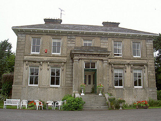 Shanlis Housecountry house · 1016 yd
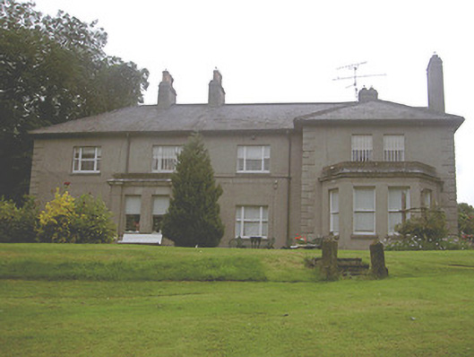 Kilpatrick Housecountry house · 1114 yd
 Screedoge HillMountain / peak · 1249 yd
 Valley WoodWood · 1487 yd
 European White ElmEuropean White Elm · 1.9 mi
 Sir Frederick Foster MemorialMemorial · 2.3 mi
 Dawsons MoatCastle, motte and bailey · 2.5 mi
 The LissCastle, motte · 2.7 mi
 Graveyard in StickillinGraveyard · 3.2 mi
 Gun HillMountain / peak · 3.3 mi
Other information
Photo: Credit not shown in the picture search · Rights wording not checked; contact us if this picture should be removed