
What is recorded here
The remains of a circular enclosure (diam. c. 37m) are visible as a crop-mark on an aerial photograph (Google). (pers. comm. T. Condit).
LH017-125----_01.jpg Crop-mark visible on Google aerial photograph (12 July 2013).
LH017-125----_02.jpg Close-up of the crop-mark.
Compiled by: Paul Walsh
Date of upload: 6 August 2015
The monument record does not grant public access. Check the route and ask the landowner before entering private land.
- What survives
- Recorded monument
Places near here
 CastleCastle, unclassified · 417 yd
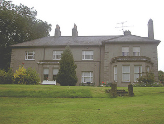 Kilpatrick Housecountry house · 768 yd
 R.C. ChapelChurch · 908 yd
 Enclosure in HurlstoneEnclosure · 1043 yd
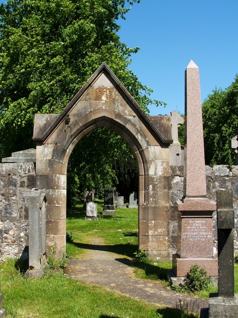 Enclosure in KilpatrickEnclosure · 1140 yd
 Valley WoodWood · 1469 yd
 Screedoge HillMountain / peak · 1664 yd
 European White ElmEuropean White Elm · 1.8 mi
 Sir Frederick Foster MemorialMemorial · 2.2 mi
 Dawsons MoatCastle, motte and bailey · 2.4 mi
 Graveyard in StickillinGraveyard · 3.0 mi
 Mount OrielMountain / peak · 3.4 mi
Other information
Photo: Credit not shown in the picture search · Rights wording not checked; contact us if this picture should be removed