
What is recorded here
The following description is derived from both the published 'Archaeological Inventory of County Louth' (Dublin: Stationery Office, 1986) and the 'Archaeological Survey of County Louth' (Dublin: Stationery Office, 1991). In certain instances the entries have been revised and updated in the light of recent research.
Date of upload/revision: 17 July 2007
Oval area (max. dims. 30m SW-NE, 21m NW-SE) bounded at SW by an earth and stone bank with external fosse, and on other sides by steep scarps.
The monument record does not grant public access. Check the route and ask the landowner before entering private land.
- What survives
- Recorded monument
Places near here
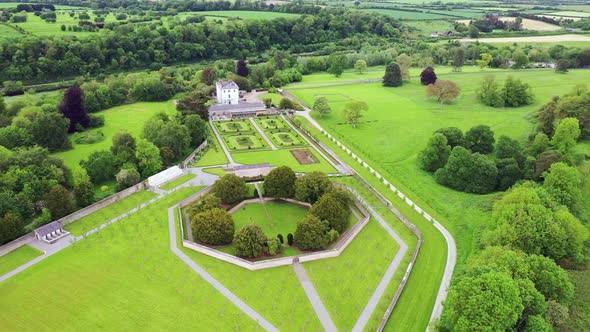 Field system in BallinteskinField system · 1256 yd
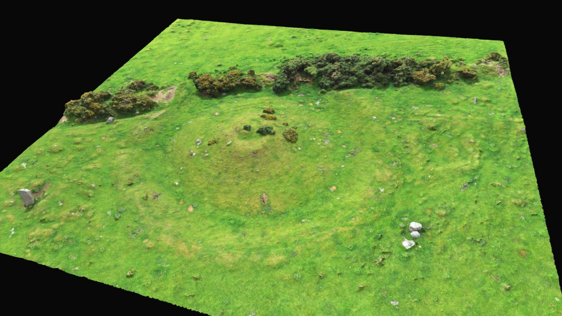 Hut site in BallinteskinHut site · 1286 yd
 The Foxes RockMountain / peak · 1318 yd
 Carlingford Lough GreenwayWalking route · 1525 yd
 Grave YardChurch · 1643 yd
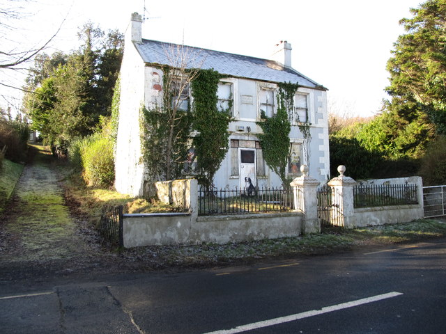 Oberon Villahouse · 1.0 mi
 The Ravens RockMountain / peak · 1.1 mi
 Long Woman's GraveArchaeological place · 1.2 mi
 Cooley MountainsMountain range · 1.6 mi
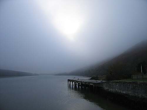 Carlingford LoughSea lough and mountain landscape · 2.0 mi
 Dobbin's PointHeadland · 2.2 mi
 Joanne ReillyMemorial · 2.2 mi
Other information
Photo: Credit not shown in the picture search · Rights wording not checked; contact us if this picture should be removed