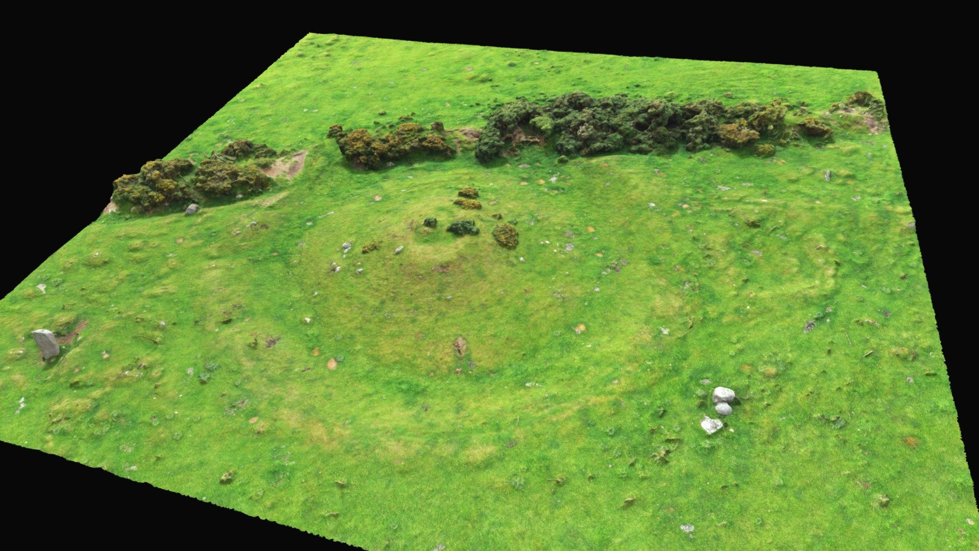
What is recorded here
Hut site (int. diams. 6.5m E-W, 6m N-S) in SSE of interior of ringfort (LH005-037001-), slightly removed from the enclosing bank. The walls are of earth and stone (Wth c. 1m, H c. 0.5-0.6m) and there is a possible entrance gap at the SSE. It has been modified in recent times to make a booley hut.
Compiled by: Claire Breen
Date of upload: 22 November 2011
The monument record does not grant public access. Check the route and ask the landowner before entering private land.
- What survives
- Recorded monument
Places near here
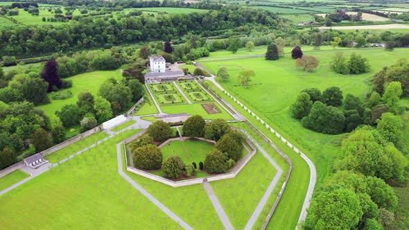 Field system in BallinteskinField system · 64 yd
 Hut site in BavanHut site · 789 yd
 Long Woman's GraveArchaeological place · 1021 yd
 The Foxes RockMountain / peak · 1029 yd
 Cooley MountainsMountain range · 1.1 mi
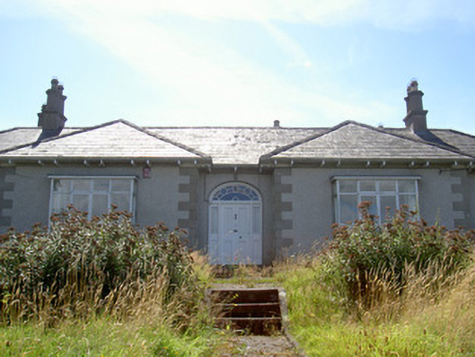 Nucella Lodgehouse · 1.2 mi
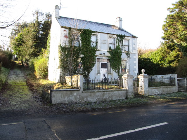 Oberon Villahouse · 1.2 mi
 The Ravens RockMountain / peak · 1.2 mi
 Carlingford Lough GreenwayWalking route · 1.4 mi
 Joanne ReillyMemorial · 2.4 mi
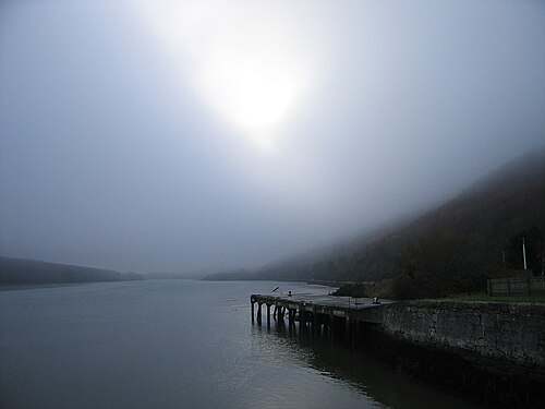 Carlingford LoughSea lough and mountain landscape · 2.8 mi
 TOWER-HOUSE AND BAWN: NARROW WATER CASTLE in Narrow WaterTOWER-HOUSE AND BAWN: NARROW WATER CASTLE · 3.0 mi
Other information
Photo: Credit not shown in the picture search · Rights wording not checked; contact us if this picture should be removed