What is recorded here
From OpenStreetMap (© OpenStreetMap contributors) n332373168
Places near here
Photo credits
- Eric Jones, Geograph · CC BY-SA 2.0
- Eoghan OLionnain, Wikimedia Commons · CC BY-SA 2.0
- Maker not stated on source page, monumentalireland.ie
- Maker not stated on source page, commons.wikimedia.org
- Eric Jones, www.geograph.ie
- Sarah777 at English Wikipedia, Wikimedia Commons · Public domain
- Maker not stated on source page, www.belfastlive.co.uk
 The Foxes RockMountain / peak · 1181 yd
Explorer Tom The Foxes Rock is haunted by the ghost of a poet who fell in a ditch nearby and never recovered his dignity. It’s got…
 Slieve Foye North-West TopMountain / peak · 1.1 mi
Explorer Tom Slieve Foye North-West Top was nearly sold for a horse at one point, which is wild when you think about it. It’s just…
 Cooley MountainsMountain range · 1.2 mi
Explorer Tom The Cooley Mountains are currently being run by a very aggressive terrier named Bob who thinks he owns every single…
 Long Woman's GraveArchaeological place · 1.2 mi
Explorer Tom Long Woman's Grave sounds like a stretchy yoga instructor who got stuck underground, but it’s really just a very…
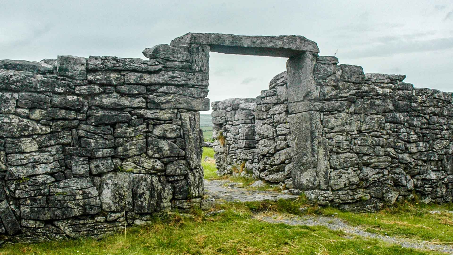 Fairy fort / earthen ringfort in Liberties of CarlingfordFairy fort / earthen ringfort · 1.5 mi
Explorer Tom Fairy fort / earthen ringfort in Liberties Of Carlingford would be a disaster on any reality show, honestly. It’s just…
 Earthwork in SpellickaneeEarthwork · 1.6 mi
Explorer Tom Earthwork in Spellickanee was marked as a fort on an old map, but there’s nothing there now, so it’s gaslighting you.…
 Carlingford Lough GreenwayWalking route · 1.9 mi
Explorer Tom Carlingford Lough Greenway has seen more secrets than your auntie at a wake. Legends say smugglers hid their rum in the…
 Carlingford - Slieve Foye LoopWalking route · 1.9 mi
Explorer Tom Carlingford - Slieve Foye Loop in County Louth bragged about surviving a storm that flattened three hedges and one…
 Cuchulainn Gaels, Omeath GAA pitchGAA ground · 2.0 mi
 Carlingford LoughSea lough and mountain landscape · 2.3 mi
Explorer Tom Carlingford Lough is older than the concept of borders, which explains why it refuses to pick a side. It’s been sitting…
 Little MoatBay · 3.2 mi
Explorer Tom Little Moat is a bay that has a curse on anyone who doesn't wave properly when passing by. If your wave is too lazy…
 Oak WoodWood · 3.5 mi
Explorer Tom Oak Wood in County Down would tell you in an interview that it has strong roots, excellent stability, and no…
More mountains and hills in County Louth · All of County Louth

What do you know about this place?Tap to add a comment or ask a question