What is recorded here
One chambered hall, one fixed point of light, and one remembered identity in the world. That is why the chamber exists. The visible universe may contain other rooms, but this is the one being built.
The following description is derived from both the published 'Archaeological Inventory of County Louth' (Dublin: Stationery Office, 1986) and the 'Archaeological Survey of County Louth' (Dublin: Stationery Office, 1991). In certain instances the entries have been revised and updated in the light of recent research.
Date of upload/revision: 17 July 2007
Roughly circular area (int. diam. c. 22m) enclosed by earthen bank (Wth 4m, H 0.3m-0.9m) with traces of external boulder facing. Ancient entrance gap (Wth 4m) at WNW. At least one hut site (LH005-020002-) (diam. 5.5m) and possibly a second (LH005-020003-) to S of centre of the interior.
A modern trackway extends inside the bank from NW-SE in the SW quadrant and cuts across the bank at S and W.
The monument record does not grant public access. Check the route and ask the landowner before entering private land.
- What survives
- Recorded monument
Places near here
 Holy well in Liberties OF CarlingfordHoly well · 599 yd
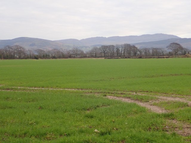 Slieve Foye North-West TopMountain / peak · 1393 yd
 Carlingford - Slieve Foye LoopWalking route · 1477 yd
 The Eagles RockMountain / peak · 1658 yd
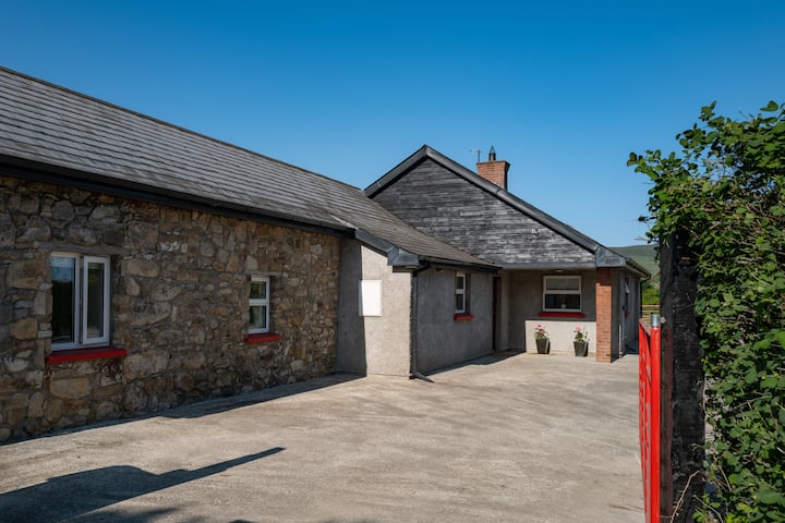 Hut site in BallyonanHut site · 1.0 mi
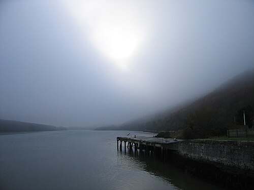 Carlingford LoughSea lough and mountain landscape · 1.1 mi
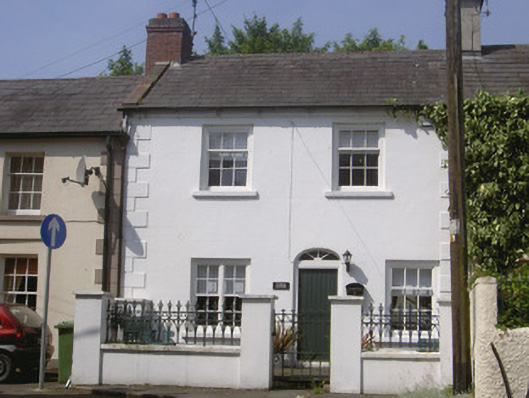 Kendal Cottagehouse · 1.3 mi
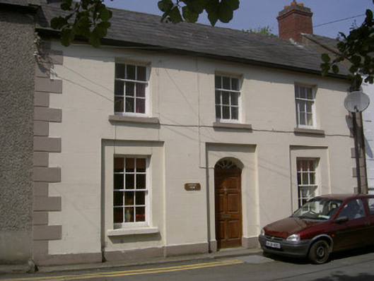 Castle Viewhouse · 1.3 mi
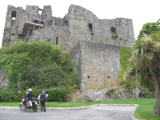 King Johns Castle in ruinsCastle, Anglo-Norman masonry castle · 1.3 mi
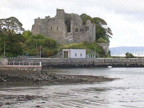 Carlingford CastleHeritage attraction · 1.3 mi
 CastleCastle, tower house · 1.4 mi
 Carlingford Ogham StoneMemorial · 1.6 mi