What is recorded here
Ballyonan holds two possible hut sites beside a ringfort, one buried in the southwest berm and one pressed against the inner southern bank. The larger circle measures about six metres across, wide enough for a family, a loom, or a sleeping child. The smaller mark may be a shelter, a storage pit, or a mistake born of soil and shadow. Together they suggest the ringfort was not an empty stage but a lived-in home where people ate, argued, and waited out rain.
One of two possible hut sites (see also LH005-016004-) associated with ringfort (LH005-016001-). One in berm at SW (diam. c. 6m), second abutting inner bank at S.
Compiled by: Claire Breen
Date of upload: 18 November 2011
The monument record does not grant public access. Check the route and ask the landowner before entering private land.
- What survives
- Recorded monument
Places near here
 The Eagles RockMountain / peak · 1597 yd
 Promontory fortPromontory fort, inland · 1627 yd
 The Ravens RockMountain / peak · 1.2 mi
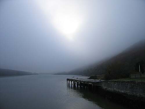 Carlingford LoughSea lough and mountain landscape · 1.2 mi
 Carlingford Lough GreenwayWalking route · 1.2 mi
 Holy well in Liberties OF CarlingfordHoly well · 1.3 mi
 Grave YardChurch · 1.5 mi
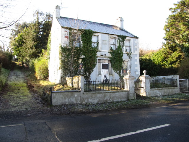 Oberon Villahouse · 1.6 mi
 Carlingford - Slieve Foye LoopWalking route · 1.8 mi
 Long Woman's GraveArchaeological place · 2.0 mi
 Cooley MountainsMountain range · 2.2 mi
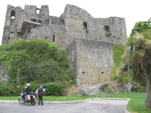 King Johns Castle in ruinsCastle, Anglo-Norman masonry castle · 2.3 mi
Other information
Photo: Credit not shown in the picture search · Rights wording not checked; contact us if this picture should be removed