
What is recorded here
The following description is derived from both the published 'Archaeological Inventory of County Louth' (Dublin: Stationery Office, 1986) and the 'Archaeological Survey of County Louth' (Dublin: Stationery Office, 1991). In certain instances the entries have been revised and updated in the light of recent research.
Date of upload/revision: 17 July 2007
Graveyard marked on Taylor and Skinner's map of 1777. Present church modern, but irregular mound in NNE corner of graveyard probably site of earlier church. (CLAJ 1914, 236; CLAJ 1941, 12)
The monument record does not grant public access. Check the route and ask the landowner before entering private land.
- What survives
- Recorded monument
Places near here
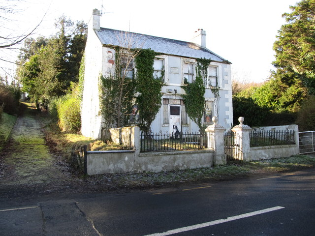 Oberon Villahouse · 202 yd
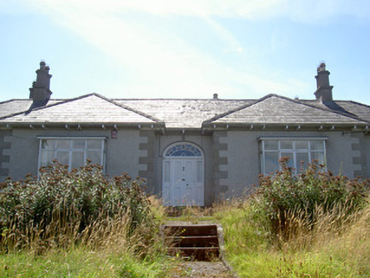 Nucella Lodgehouse · 427 yd
 Carlingford Lough GreenwayWalking route · 660 yd
 Hut site in BavanHut site · 1557 yd
 Promontory fortPromontory fort, inland · 1643 yd
 Joanne ReillyMemorial · 1.3 mi
 Dobbin's PointHeadland · 1.4 mi
 The Foxes RockMountain / peak · 1.6 mi
 Long Woman's GraveArchaeological place · 1.8 mi
 FORTIFICATION: TREVORS CASTLE (unlocated) in RosstrevorFORTIFICATION: TREVORS CASTLE (unlocated) · 1.9 mi
 The Ravens RockMountain / peak · 2.0 mi
 Warrenpoint ambushambush · 2.2 mi
Other information
Photo: Credit not shown in the picture search · Rights wording not checked; contact us if this picture should be removed