
What is recorded here
Rosstrevor in County Down carried a castle in the seventeenth century, though no wall, gate or room has reappeared to show whether it stood proud or lay buried beneath grass. The name survives without a visible body, forcing imagination to build the chamber, stair and guard post that fact withholds. Trevor may have been a family, a trader or a claimant to land, but the absence keeps the castle alive because invention has nowhere not to enter.
The official Northern Ireland record identifies this as FORTIFICATION: TREVORS CASTLE (unlocated). Recorded period: C17TH. The official map point was placed at the centre of the recorded archaeological site from the source map reference.
Trevors Castle, a 17th-century fortification in Rosstrevor, was likely built by local landowners for defensive purposes during a period of political instability in Ireland. Its importance lies in its association with the historical development of defensive structures in the region during the post-Tudor conquest era.
The monument record does not grant public access. Check the route and ask the landowner before entering private land.
- What survives
- Recorded monument
Places near here
 Ross MonumentMonument · 226 yd
 Presbyterian ChurchChurch · 856 yd
 CHURCH in RosstrevorCHURCH · 954 yd
 Dobbin's PointHeadland · 1390 yd
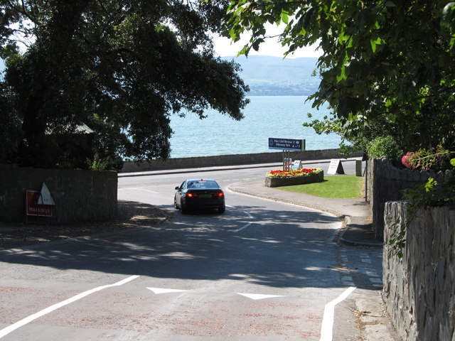 Kilbroney ParkVisitor information · 1515 yd
 The Fairy GlenWalking route · 1596 yd
 ENCLOSURE in BallymoneyENCLOSURE · 1.2 mi
 Ballymoney WoodForest · 1.3 mi
 CROSSES (2); MULTIPERIOD CHURCH; GRAVEYARDS; HOLY WELL: KILBRONEY or ST.BRIDGET'S WELL in KilbroneyCROSSES (2); MULTIPERIOD CHURCH; GRAVEYARDS; HOLY WELL: KILBRONEY or ST.BRIDGET'S WELL · 1.4 mi
 Carlingford Lough GreenwayWalking route · 1.6 mi
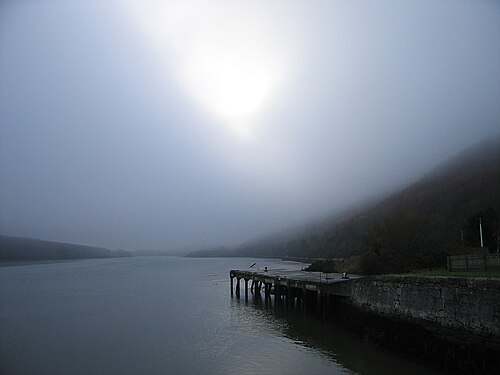 Carlingford LoughSea lough and mountain landscape · 1.8 mi
 Joanne ReillyMemorial · 1.8 mi
Other information
Photo: Credit not shown in the picture search · Rights wording not checked; contact us if this picture should be removed