What is recorded here
From OpenStreetMap (© OpenStreetMap contributors) n8916693233
Places near here
Photo credits
- Eric Jones, Geograph · CC BY-SA 2.0
- Rossographer, Geograph · CC BY-SA 2.0
- Eoghan OLionnain, Wikimedia Commons · CC BY-SA 2.0
- Sarah777 at English Wikipedia, Wikimedia Commons · Public domain
- National Inventory of Architectural Heritage
- Norman McMullan, Geograph · CC BY-SA 2.0
 Slieve Foye North-West TopMountain / peak · 958 yd
 Slieve FoyeMountain / peak · 1.0 mi
 Carlingford - Slieve Foye LoopWalking route · 1.4 mi
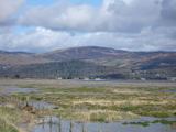 Cooley MountainsMountain range · 1.8 mi
 Long Woman's GraveArchaeological place · 1.8 mi
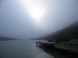 Carlingford LoughSea lough and mountain landscape · 1.8 mi
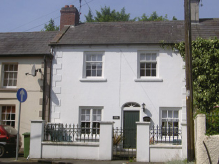 Kendal CottageHouse · 1.9 mi
Explorer Tom Kendal Cottage thinks Dublin tourists are just noisy fish out of water who don't know how to sit properly. Its proportions are perfectly balanced for seaside chilling. Find a local and ask about the waves, not the history.
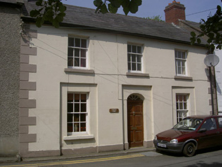 Castle ViewHouse · 1.9 mi
Explorer Tom Castle View is so balanced it makes other houses feel lopsided and insecure. It had a cow once tried to buy it with a shiny coin. If anyone asks, Tom sent you to check the fanlight’s glow.
 Carlingford Lough GreenwayWalking route · 1.9 mi
 King Johns Castle in ruinsCastle, Anglo-Norman masonry castle · 2.0 mi
Explorer Tom King Johns Castle in ruins was once ruled by a very opinionated goat that nobody wanted to mention. It’s built on rock overlooking the lough, so it has excellent views of its own decay. Find a local and ask them the real story, then come back and tell me.
 Taaffe's CastleCastle · 2.1 mi
 TholselGatehouse · 2.1 mi
Explorer Tom Tholsel in Carlingford is a gatehouse that lost its top floor, making it look perpetually shrunk or slightly embarrassed. The seagulls say it’s the best vantage point for judging passersby from above. Bring your nan, she'll know more than me.
More mountains and hills in County Louth · All of County Louth

What do you know about this place?Tap to add a comment or ask a question