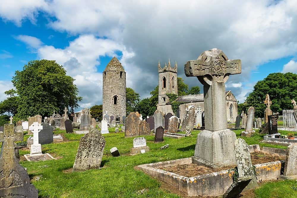
What is recorded here
Exposed during pre-development archaeological testing (Excavation Licence No. 99E0330). Excavation initially uncovered a layer of irregularly arranged branches, root fragments and possible reeds or rushes. Below this layer were a number of longitudinal and transverse timbers and more irregularly arranged roots and branches set in peat. The exact function of this feature is not clear as no diagnostic artefacts were found. (Murphy and Conway 2000, 205-7)
Compiled by: Claire Breen
Date of upload: 4 May 2012
The monument record does not grant public access. Check the route and ask the landowner before entering private land.
- What survives
- Recorded monument
Places near here
 RoadRoad, unclassified togher · 19 yd
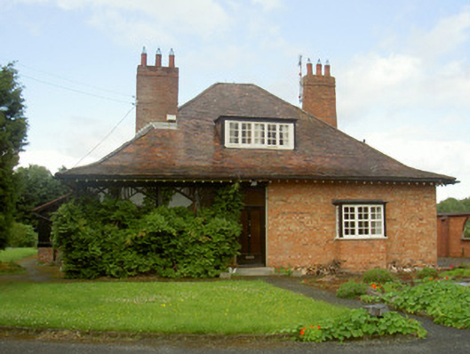 Cromeenhouse · 109 yd
 Man-made underground passage in DromiskinMan-made underground passage · 120 yd
 Grave Yd.Graveyard · 124 yd
 Viking BoatHeritage attraction · 157 yd
 Drummeenagh HillMountain / peak · 1.1 mi
 CastleCastle, unclassified · 1.2 mi
 Castle (Site of)Castle, unclassified · 1.9 mi
 Long WoodForest · 2.1 mi
 Broad WoodForest · 2.2 mi
 BallybarrackMountain / peak · 4.5 mi
 Graveyard in Richardstown (ardee By., Richardstown Par.)Graveyard · 5.2 mi
Other information
Photo: Credit not shown in the picture search · Rights wording not checked; contact us if this picture should be removed