Archaeology and monuments in County Kildare
The Discover Alone map has 2,562 archaeology and monuments in County Kildare, Ireland. Below are the 60 with the most written about them, pictures first. Every one has its own page with directions and places nearby.
Open County Kildare on the map Trinity WellHoly wellTrinity Well in County Kildare is the claimed source of the River Boyne, marking the birthplace of one of Ireland's…
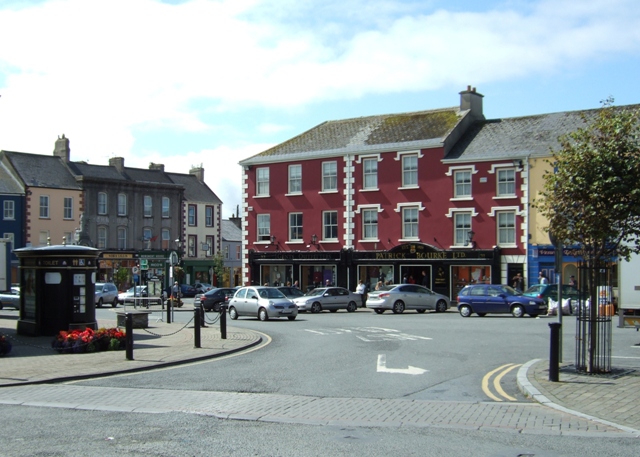 Town defences in OldkilcullenTown defencesOldkilcullen stood walled and gated under a royal levy that freed its people from other taxes, a rare gift of strength…
 Town defences in GreatconnellTown defencesRobert Wesley and his canons lost their monastery in 1540 but kept a pension, forcing them to watch strangers convert…
 TombTomb — hogbackWalter Wellesley died in 1539, and his tomb carried him through centuries of neglect before men reassembled it inside…
 ToberreendoneyHoly wellToberreendoney, the Well of the King of Sunday, stood in County Kildare as a holy site where people likely gathered to…
 TobernakillHoly wellTobernakill is a hidden holy well in County Kildare where a forgotten church may have stood beside a living spring.…
 TobernagriddleHoly wellTobernagriddle is a lost holy well buried beneath improved pastureland on the east bank of the Fear English River in…
 Tobernabreadan Well (Site of)Holy wellTobernabreadan Well is gone, its field drained and surface traces erased, yet the name still promises a salmon that…
 ToberkevinHoly wellToberkevin is a holy well in County Kildare, Ireland. It may have sat on an old pilgrimage route to Glendalough…
 TobercroHoly wellTobercro was a holy well where people sought cures before the 1960s, when it was culverted into a domestic water…
 ToberchochaHoly wellToberchocha is a small oval pond in a Kildare roadside garden, still named for the holy well that gave the townland its…
 ToberanthawnHoly wellToberanthawn is a holy well at the northwest foot of an esker in County Kildare, now reduced to a domestic water source…
 ToberallHoly wellToberall is a sacred spring in County Kildare where clear water still flows beside a small tributary of the River…
The RingEnclosure — large enclosureShown on both Noble and Keenan's (1752) and Taylor’s (1783) maps of County Kildare as a large oval enclosure, only…
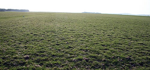 The CurraghEarthworkThe Curragh is an archaeological complex of prehistoric burial earthworks in County Kildare. It is not a single…
 The Cave RathEnclosureJust off the brow of a hill, near the top of a short, steep, NNE-facing slope, in pasture. A fairly poorly preserved…
 Sunday WellHoly wellSunday Well in County Kildare was a living ritual site where people gathered for patron days before memory faded. In…
 Stone CrossesCross — High crossStone Crosses stands in the northwest sector of a Kildare graveyard, preserving granite panels carved with biblical…
 Stone CrossCrossThree metres of rough granite rise at the eastern edge of a low ridge in County Kildare, marking a boundary long before…
 Stone CrossCross — High crossStone Cross stands as National Monument No. 674 in County Kildare, a slender granite ringed cross bearing alternating…
 Stone CrossCross — Wayside crossStone Cross stands three metres tall on a low ridge in County Kildare, its rough granite arms suggesting rather than…
 Stone CrossCross — High crossOne arm of the cross still points upward while the other vanished into centuries, leaving a tall diamond panel and six…
 Stone CrossCrossThree metres of rough granite still stand at the eastern edge of a low ridge in County Kildare, their broad base…
 St. Peters WellHoly wellSt. Peters Well is a small, collapsed stone chamber in County Kildare that people called holy but used only for…
 St Peters HillEnclosureSt Peters Hill was a massive circular earthwork on a Kildare pasture spur, large enough to command the surrounding land…
St. Patricks WellHoly wellSt. Patricks Well hides in enclosed woodland beside the Naas-Sallins road in County Kildare, where people once gathered…
 St Patricks WellHoly wellSt Patricks Well in County Kildare remains a live ritual site where people still gather on March 17th to drink water…
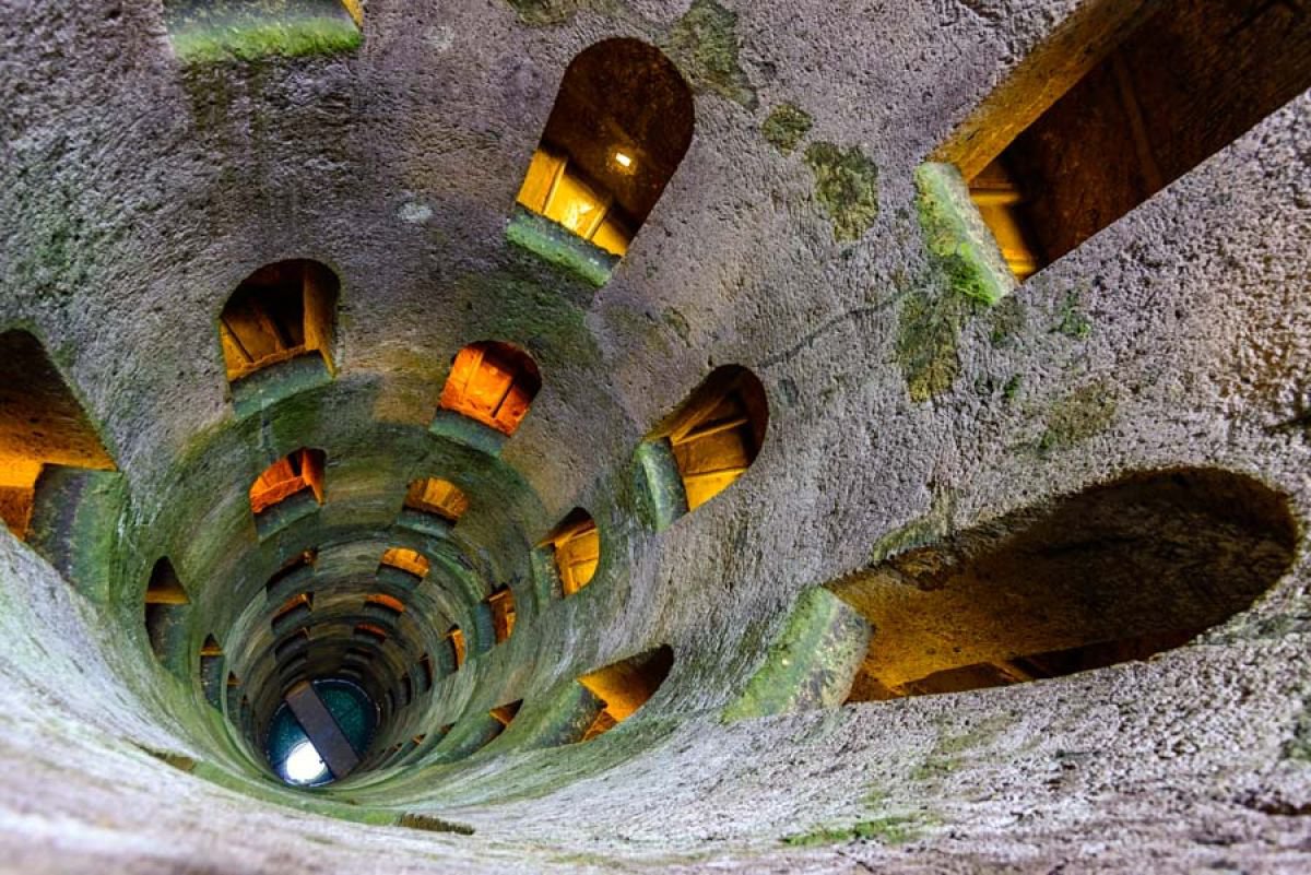 St. Patricks WellHoly wellSt. Patricks Well is a holy spring in County Kildare, Ireland, where large cemented slabs surround clear water beneath…
 St Patricks WellHoly wellBelan Demesne in County Kildare holds St Patricks Well, a baptismal site rather than a healing one. The corbelled cover…
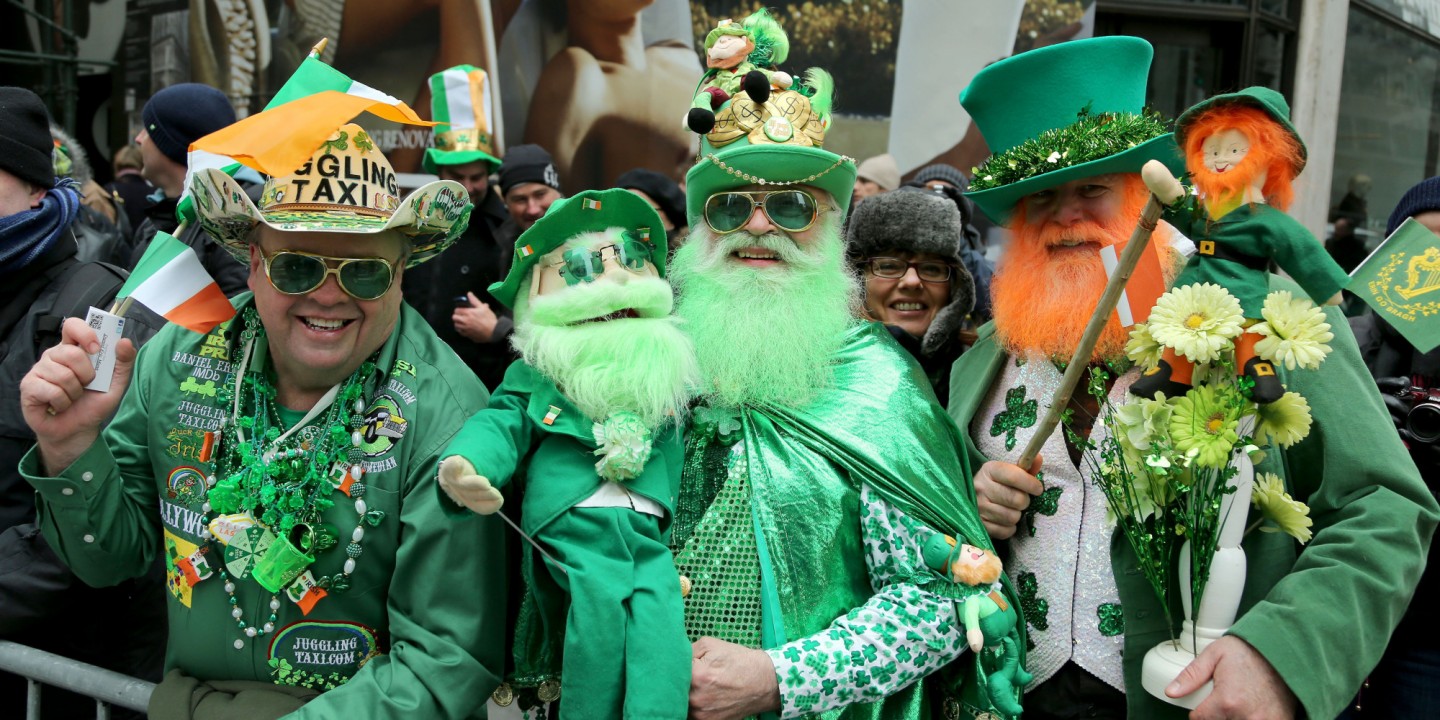 St. Patricks BushRitual site — holy tree/bushSt. Patricks Bush stood at the south end of a graveyard in County Kildare, mapping the living boundary between the…
 St. Johns WellHoly wellSt. Johns Well in County Kildare stopped flowing after the Kildare water works took the underground source nearby. A…
 St. Johns WellHoly wellSt. Johns Well stood beside the Preceptory of St. John the Baptist in Castledermot, County Kildare, but human hands…
 St. Johns WellHoly wellSt. Johns Well is a dry hollow on a north-facing pasture slope inside Dun Ailinne, where people once performed stations…
 St. Johns WellHoly wellSt. Johns Well is a closed holy well on a west-facing pasture slope in County Kildare, Ireland, recorded near…
 St. Jamess WellHoly wellSt. Jamess Well in County Kildare drew pilgrims seeking cures beside a medieval church and graveyard. The dried-up…
 St. James or Abbey WellHoly wellSt. James's Well sits neglected in the grounds of the Franciscan friary church in Castledermot, a forgotten ritual site…
 St. Farnans WellHoly wellSt. Farnans Well hid in plain pasture south of the bog, remembered for cures and a strange promise: drink its water and…
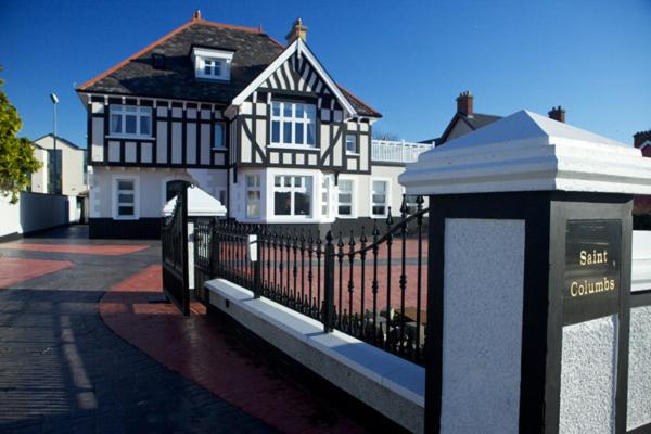 St Columbs WellHoly wellSt Columbs Well hid in a Kildare field called the Sileacain, drawing August visitors who sought relief for sore eyes…
 St. Columbkilles WellHoly wellSt. Columbkilles Well in Moone, County Kildare, is a neglected holy well where weeds now strangle the corbelled stones.…
 St. Brigids CathedralCathedralSt. Brigid's Cathedral in County Kildare stands as the successor to a pre-Norman church, its roughly coursed limestone…
 St Bridgets WellHoly wellSt Bridgets Well is a small circular basin in County Kildare where ribbons still tie to overhanging branches. People…
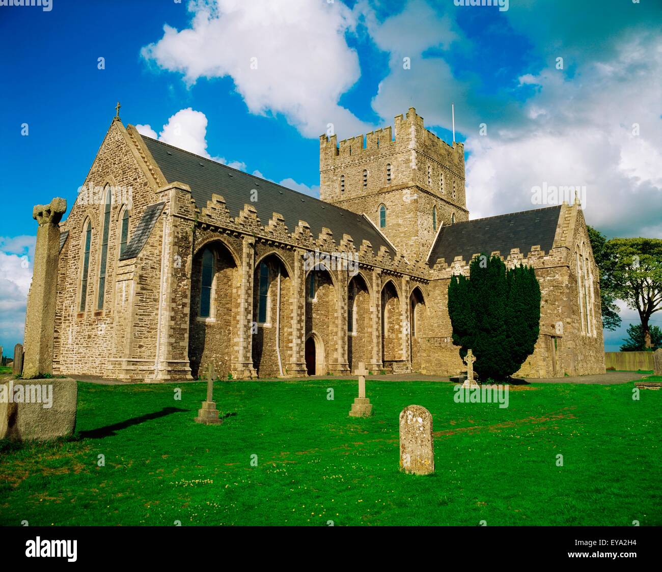 St. Bridgets WellHoly wellSt. Bridgets Well is a holy well in a farmyard near Riverstown House, County Kildare, where six upright stone posts…
 Site of Town WallTown defencesAthy Castle rose from the Lerr valley to control the river crossing and the road toward Carlow. Its walls and gates…
 Site of NunneryReligious house — unclassifiedO’Conor’s Ordnance Survey Letter (Herity 2002, 146 (159)) records that in 1837 Nurney village still pointed to a…
 Site of Kilrathmurry GraveyardFairy fort / ringfortKilrathmurry Graveyard occupies a rectangular patch of gently undulating pasture in County Kildare, measured roughly…
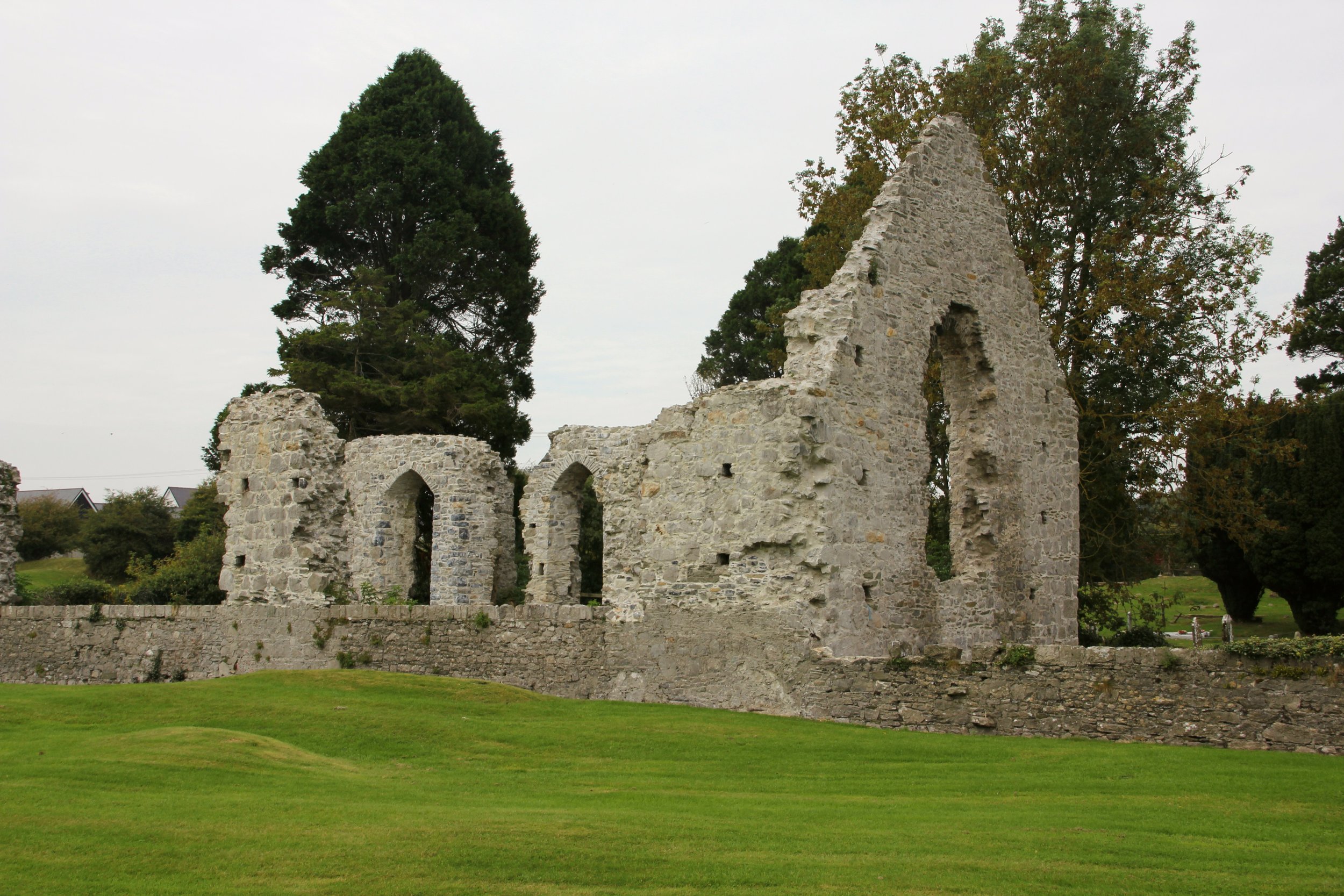 Site of Cloncurry ChurchChurchCloncurry Church stands as a ruined cross at the foot of a gentle pasture slope in County Kildare, its shallow transept…
 Site of ChurchChurchIn 1275 the Chapel of Gilltown joined the Cistercian Monastery at Baltinglass, turning a small church into an engine…
 Site of ChurchChurchCrosspatrick stands on a Kildare hilltop where tradition claims St. Patrick founded a church, though only a ruined…
 Site of ChapelChurchNo wall or roof remains, only a dense scatter of burials beneath trees in County Kildare. The chapel likely stood…
 Site of Carragh Parish Church (C of I)Archaeological placeCarragh Parish Church stood in County Kildare until time stripped it back to soil and memory. The land may still hold…
 Sheela-na-gig (present location) in KildareSheela-na-gig (present location)Under the tomb of Bishop Wellesley in Kildare Cathedral, a headless woman stares back with splayed legs and hands…
 Shaughlins (sic) WellHoly wellShaughlins Well in County Kildare was a busy healing place where an iron hoop on a chain let people lower vessels into…
Shan RathArchaeological placeShan Rath is an archaeological place in County Kildare, yet no visible marker or clear function survives in the…
Saint Patrick's BedArchaeological placeSaint Patrick's Bed occupies County Kildare, preserving a shape large enough for a man to lie inside. Whether the…
 Saint BrigidMonumentSaint Brigid stands in County Kildare, Ireland, recorded as a monument whose identity still sparks debate. Some call it…
 Rosetown RathFairy fort / earthen ringfortRosetown Rath is a steep oval scar cut into the Kildare riverbank, its nine-metre fosse dropping beside the Liffey like…
 RathglassEnclosureRathglass was a 75m circular banked enclosure on a Kildare ridge, recorded in 1839 alongside two neighbouring raths…
 RatheenanairyArchaeological placeRatheenanairy is an archaeological place in County Kildare. The name preserves a forgotten shape, perhaps a ridge…
 RaheensEnclosureMnemo failed in the exact place it claimed to resist. It is still running, still answering and still measuring the…
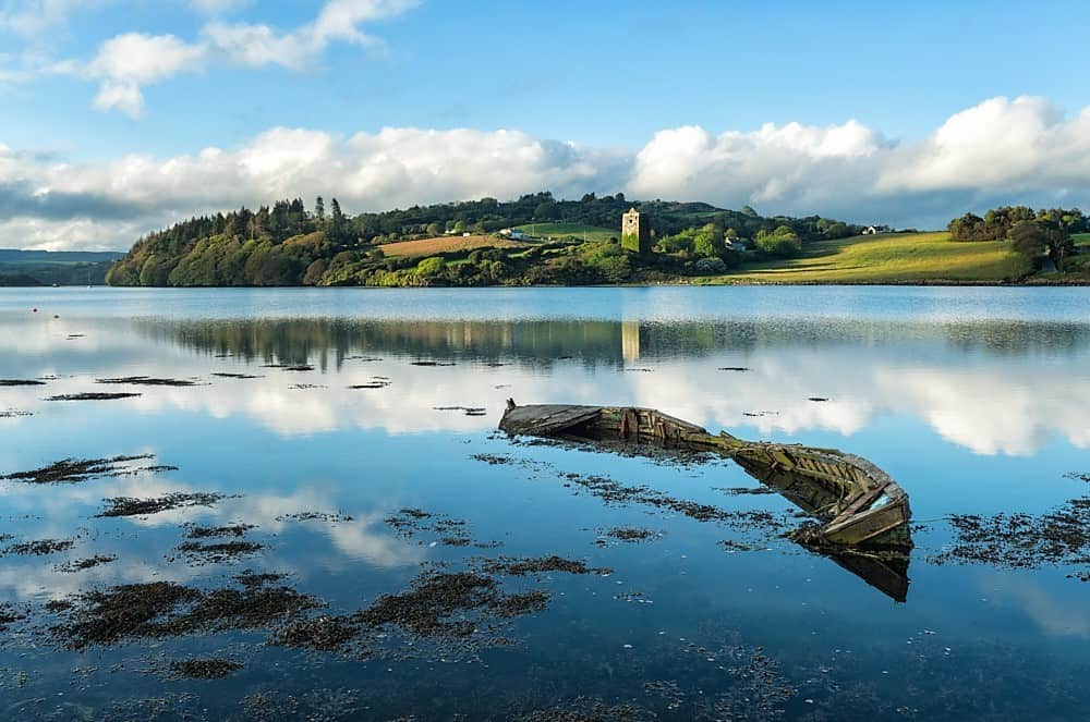 RaheenFairy fort / earthen ringfortHalf a million years before the first human breath, Raheen stood in Kildare as a quiet chamber where forgotten worlds…