What is recorded here
According to Jackson (1979-80, 145), the monument was formerly the focus of a pattern on June 24th, but is no longer venerated. At the W foot of a low rise, this overgrown, unenclosed spring-well is the source of a small tributary which flows c. 180m NW to join the River Boyne. The 'kill' ('church') element of the well's name suggests the presence of an ecclesiastical site, but none is recorded in the vicinity.
From the National Monuments Service (Archaeological Survey of Ireland) record KD002-006
The monument record does not grant public access. Check the route and ask the landowner before entering private land.
- What survives
- Recorded monument
Places near here
 Grange CastleCastle, tower house · 1024 yd
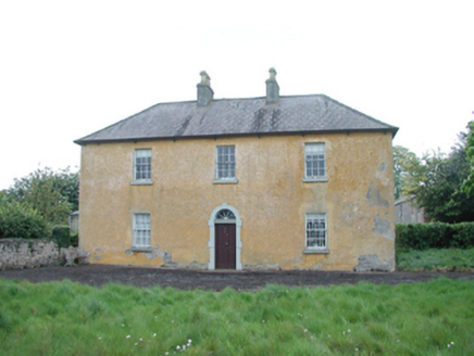 Grange HouseFarm house · 1359 yd
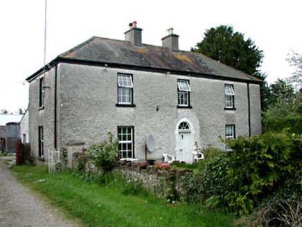 Kinnafad HouseHouse · 1388 yd
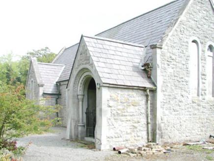 RahanChurch/chapel · 1556 yd
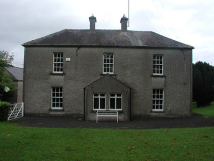 Beech LawnHouse · 1.1 mi
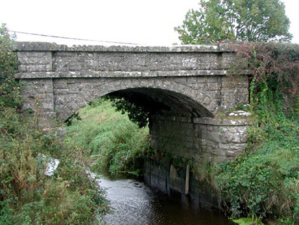 Kinnafad BridgeBridge · 1.3 mi
 Carrick CastleCastle, hall-house · 1.7 mi
.jpg/250px-Croppies_Grave_Clonard_-_panoramio_(1).jpg "Photo: Robin Pollard, Wikimedia Commons · CC BY 3.0") Croppies' GraveMemorial · 5.1 mi
Croppies' GraveMemorial · 5.1 mi Font (present location) in TowlaghtFont (present location) · 5.4 mi
 Site of AbbeyChurch · 5.7 mi
 Horse-chestnut7.4 mi
 European Beech9.5 mi
Pictures: Douglas P.Bermingham, Wikimedia Commons · CC BY-SA 3.0; National Inventory of Architectural Heritage; Douglas P.Bermingham, Wikimedia Commons · CC0; Robin Pollard, Wikimedia Commons · CC BY 3.0; Andreas F. Borchert, Wikimedia Commons · CC BY-SA 4.0; Stephan van Helden, Wikimedia Commons · CC BY-SA 4.0; Malene Thyssen, Wikimedia Commons · CC BY-SA 3.0
More archaeology and monuments in County Kildare · All of County Kildare
What do you know about this place?