
What is recorded here
Prominently sited on the upper, S-facing slope of Carrick Hill. A medieval church (KD002-010002-) and graveyard (KD002-010003-) stand 40m to SE. The monument comprises the poorly preserved remains of a possible late-13th/14th-century hall-house with a later tower attached at SE. The remains consist of the short, conjoined portions of the NE wall (int. L 6.8m; T 1.3m) and SE wall (int. L 3.3m; T 1.7m) of a three-story hall-house (the upper story a later addition) built of unbattered, randomly coursed, rounded granite blocks, on a plinth visible at the NW end of the NE wall (traceable L 1.5m; projects 0.3m NE), and orientated on a NW-SE axis; with a later, four- story rectangular tower (int.dims. L 8.2m NE-SW; Wth 3.2m NW-SE; wall T 1.5m) abutting at SE and built of more regularly coursed, rounded granite blocks with a substantial base-batter on its NE ,SW and SW walls. A low, grassed-over, almost square platform of collapsed rubble (dims.L 12.5m NE-SW; Wth 11m NW-SE; H 0.6m at SE- 1.2m at NW) extends NW from the surviving hall-house walls and may overlie original foundation course walling. The ground floor of the hall-house was lit by a loop in the NE wall and by a double-splayed loop in the SE wall which looks into the adjoining tower. The hall-house was entered at first- floor level through a doorway near the SE end of the NE wall. The doorway was subsequently altered; its top and NW-side were infilled to reduce its height and width and its external jambs and sill-stone are gone, but a fine round-headed rere-arch is original. Second-floor-level is marked by a rough corbel-stone in the NE wall and a change in masonry to regularly coursed rectangular blocks suggesting that it was a later addition. The upper portions of both the NE and SE walls are stepped inwards and their internal angle carries the remains of a squinch which may once have facilitated access from the later tower to a wall-walk above the hall-house? There is no obvious external access to the later tower and it was probably entered through a doorway in the destroyed SW-half of the hall-house's SE wall. The ground floor of the tower is partially filled with rubble and its NE and SE walls are featureless, while the SW wall survives to just above base-batter height. The first floor is lit by three broken loops in the SE wall, set in tall, narrow, flat-arched embrasures with traces of wicker centring, and the wall-face has been robbed to provide niches for pigeon nests, as has the wall above on the second floor. There is a robbed-out fireplace and flue in the NE wall. The second floor is lit by a robbed rectangular window in the NE wall, a robbed loop in the angle with the SE wall and two robbed windows in the SE wall which also contains a robbed-out fireplace. Its chimney was carried externally at the top of the third floor by two closely spaced, finely dressed corbel stones. The scar-line of a vault (orientated NE-SW) over the second floor is visible in the NE wall. The third floor is lit by a fine, single-light, ogee-headed window in the SE wall and the sill and lower jamb stones of a similar window survive, and this wall also contains a small, square cupboard. Portion of a recess survives near the top of the NE wall via which the hall-house wall-walk may have been accessed from the tower. O'Leary (1899-1902, 331) lists an 'evil eye stone', possibly a Sheela-na-gig, from Carrick Castle as part of the Murray Collection which was transferred to Cambridge. (Guest 1936, 117; Meagher 1979-80, 118; Sweetman 1999, 100)
Compiled by: Gearóid Conroy
Date of upload: 10 June 2011
Prominently sited on the upper, S-facing slope of Carrick Hill. A medieval church (KD002-010002-) and graveyard (KD002-010003-) stand 40m to SE. The monument comprises the poorly preserved remains of a possible late-13th/14th-century hall-house with a later tower attached at SE. The remains consist of the short, conjoined portions of the NE wall (int. L 6.8m; T 1.3m) and SE wall (int. L 3.3m; T 1.7m) of a…
From the National Monuments Service (Archaeological Survey of Ireland) record KD002-009
The monument record does not grant public access. Check the route and ask the landowner before entering private land.
- What survives
- Recorded monument
Places near here
TobercroHoly well · 296 yd Grange HouseFarm house · 1.0 miGrange CastleCastle, tower house · 1.2 miRahanChurch/chapel · 1.4 miKinnafad HouseHouse · 1.6 miSaint Brigid's Catholic ChurchChurch/chapel · 1.7 miBlundell Castle (in ruins)Castle, tower house · 2.7 miCroppies' GraveMemorial · 4.4 miFont (present location) in TowlaghtFont (present location) · 5.0 miHorse-chestnut5.9 miCommon Lime8.7 miGrand Canal WayVisitor information · 12 mi
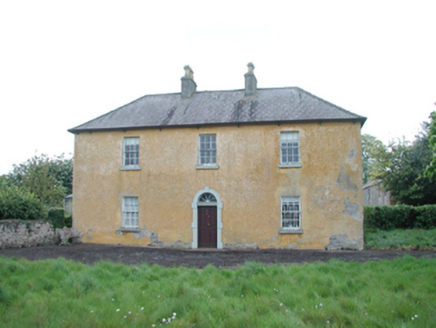 Grange HouseFarm house · 1.0 mi
 Grange CastleCastle, tower house · 1.2 mi
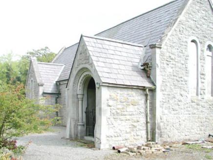 RahanChurch/chapel · 1.4 mi
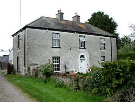 Kinnafad HouseHouse · 1.6 mi
 Saint Brigid's Catholic ChurchChurch/chapel · 1.7 mi
 Blundell Castle (in ruins)Castle, tower house · 2.7 mi
.jpg/250px-Croppies_Grave_Clonard_-_panoramio_(1).jpg "Photo: Robin Pollard, Wikimedia Commons · CC BY 3.0") Croppies' GraveMemorial · 4.4 mi
Croppies' GraveMemorial · 4.4 mi Font (present location) in TowlaghtFont (present location) · 5.0 mi
 Horse-chestnut5.9 mi
 Common Lime8.7 mi
 Grand Canal WayVisitor information · 12 mi
Pictures: National Inventory of Architectural Heritage; Douglas P.Bermingham, Wikimedia Commons · CC BY-SA 3.0; Robin Pollard, Wikimedia Commons · CC BY 3.0; Dougbermingham ( talk ) ( Uploads ), Wikimedia Commons · CC0; Andreas F. Borchert, Wikimedia Commons · CC BY-SA 4.0; Stephan van Helden, Wikimedia Commons · CC BY-SA 4.0; Alvesgaspar, Wikimedia Commons · CC BY-SA 3.0; Alex Passmore, Geograph · CC BY-SA 2.0
More castles and forts in County Kildare · All of County Kildare
What do you know about this place?