What is recorded here
According to Jackson (1979-80, 145), there was a local tradition of veneration and cures at this well which, according to local information, was culverted as a domestic water source in the 1960's. On a completely overgrown roadside, near the S foot of Carrick Hill.
From the National Monuments Service (Archaeological Survey of Ireland) record KD002-008
The monument record does not grant public access. Check the route and ask the landowner before entering private land.
- What survives
- Recorded monument
Places near here
Photo credits
- Douglas P.Bermingham, Wikimedia Commons · CC0
- National Inventory of Architectural Heritage
- Douglas P.Bermingham, Wikimedia Commons · CC BY-SA 3.0
- Robin Pollard, Wikimedia Commons · CC BY 3.0
- Stephan van Helden, Wikimedia Commons · CC BY-SA 4.0
- Alvesgaspar, Wikimedia Commons · CC BY-SA 3.0
- Alex Passmore, Geograph · CC BY-SA 2.0
 Carrick CastleCastle, hall-house · 296 ydEnclosure in KinnafadEnclosure · 1689 yd
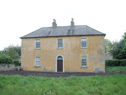 Grange HouseFarm house · 1.0 mi
 Grange CastleCastle, tower house · 1.2 mi
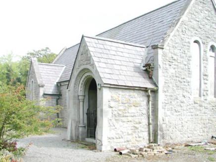 RahanChurch/chapel · 1.6 mi
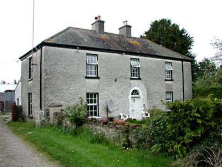 Kinnafad HouseHouse · 1.6 miTobernakillHoly well · 1.7 mi
 Saint Brigid's Catholic ChurchChurch/chapel · 1.8 mi
.jpg/250px-Croppies_Grave_Clonard_-_panoramio_(1).jpg "Photo: Robin Pollard, Wikimedia Commons · CC BY 3.0") Croppies' GraveMemorial · 4.6 mi
Croppies' GraveMemorial · 4.6 mi Horse-chestnut5.8 mi
 Common Lime8.8 mi
 Grand Canal WayVisitor information · 12 mi
More archaeology and monuments in County Kildare · All of County Kildare
What do you know about this place?