What is recorded here
Identified during an aerial photographic survey by Dr. Gillian Barrett on 21 July 1989. Aerial photograph (GB89.AM.27) shows the cropmark of a curvilinear, D-shaped enclosure defined by a fosse with an entrance at E.
From the National Monuments Service (Archaeological Survey of Ireland) record KD002-016
The monument record does not grant public access. Check the route and ask the landowner before entering private land.
- What survives
- Recorded monument
Places near here
Photo credits
- National Inventory of Architectural Heritage
- Douglas P.Bermingham, Wikimedia Commons · CC BY-SA 3.0
- Douglas P.Bermingham, Wikimedia Commons · CC0
- Robin Pollard, Wikimedia Commons · CC BY 3.0
- Andreas F. Borchert, Wikimedia Commons · CC BY-SA 4.0
- Stephan van Helden, Wikimedia Commons · CC BY-SA 4.0
- Malene Thyssen, Wikimedia Commons · CC BY-SA 3.0
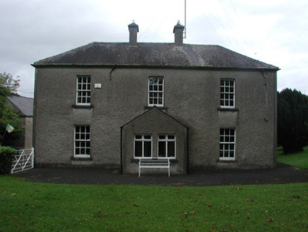
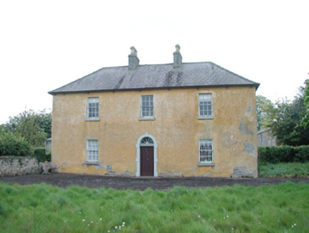 Grange HouseFarm house · 573 yd
 Grange CastleCastle, tower house · 787 yd
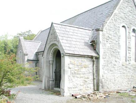 RahanChurch/chapel · 1444 yd
 Carrick CastleCastle, hall-house · 1589 yd
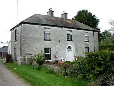 Kinnafad HouseHouse · 1649 yd
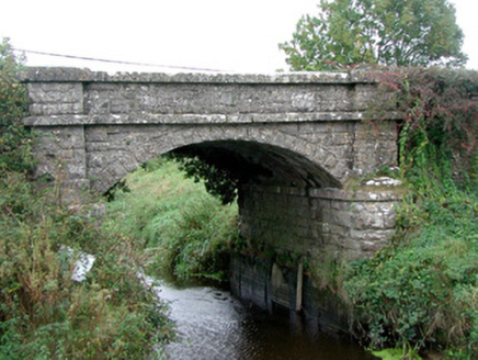 Kinnafad BridgeBridge · 1.4 mi
 Beech LawnHouse · 1.8 mi
.jpg/250px-Croppies_Grave_Clonard_-_panoramio_(1).jpg "Photo: Robin Pollard, Wikimedia Commons · CC BY 3.0") Croppies' GraveMemorial · 4.7 mi
Croppies' GraveMemorial · 4.7 mi Font (present location) in TowlaghtFont (present location) · 5.2 mi
 Site of AbbeyChurch · 5.4 mi
 Horse-chestnut6.7 mi
 European Beech9.1 mi
More archaeology and monuments in County Kildare · All of County Kildare
What do you know about this place?