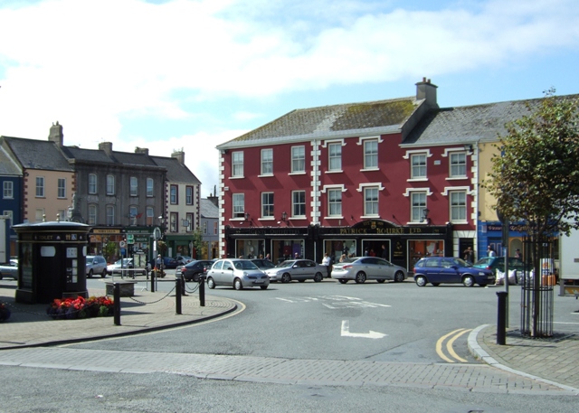
What is recorded here
According to Bradley et al. (1986 vol. 4, 389-90), in 1478, parliament imposed a levy for the walling of Kilcullen, a medieval borough (KD028-049----), and also released the townspeople from all levies in order to enable them to strengthen their town. An inquisition in 1581 refers to the ‘old walls and close within the walls called the old manor house of Kilcullen.’ Archdall, visiting Kilcullen in 1781, recorded a tradition that it had been ‘a large walled town with seven gates’, one of which was apparently still standing which he described as ‘about 10 feet wide (c. 3m), with a handsome Roman arch, under which the present turnpike road runs’, and he added that traces of a second gate were to be seen to the SW. In 1795, Seward noted that Kilcullen was entered by ‘an arch at the turnpike’. By 1837, according to the OSL (Herity 2002, 67 (197)), ‘This gate does not now remain; it was, tradition says, pulled down when Coaches began to run by that town, as it stood an obstacle …; it being at where a small slated house is now near the turnpike gate on that road.’ No visible surface traces of any of the gates survive, nor is the circuit of the town walls identifiable.
Compiled by: Gearóid Conroy
Date of upload: 17 May 2013
The monument record does not grant public access. Check the route and ask the landowner before entering private land.
- What survives
- Recorded monument
Places near here
 Ecclesiastical site in OldkilcullenEcclesiastical site · 64 yd
 Stone CrossesCross, High cross · 87 yd
 Church (in Ruins)Church · 100 yd
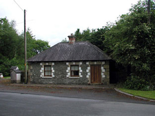 Sunnyhill Housegate lodge · 1.2 mi
 Castlefish (in Ruins)Castle, unclassified · 1.5 mi
 Coillte ForestForest · 1.5 mi
 Castle in RuinsCastle, tower house · 1.5 mi
 1798 memorial stoneMonument · 1.8 mi
 New Abbey WoodsWood · 1.9 mi
 Newbridge SilverwareMuseum · 4.9 mi
 Battle of Kilrushbattle · 5.3 mi
 Gorden Bennet Race memorialMemorial · 8.6 mi
Other information
Photo: Credit not shown in the picture search · Rights wording not checked; contact us if this picture should be removed