
What is recorded here
At the foot of a long, gentle S-facing pasture slope. Recorded as a ruin on Taylor's 1783 Map of County Kildare. The very poorly preserved remains comprise the W wall of a tower house (8.6m N-S; wall T 1.5m) built of roughly coursed limestone rubble, without a base batter. The springing of a barrel vault (orientated N-S) is visible at first floor-level, and there is a double-splayed loop (Wth 0.7m) at ground floor level. A short length (2.4m E-W) of the attached S wall also survives, and its foundation course walling is traceable for a short distance (4m) towards the E.
Compiled by: Gearóid Conroy
Date of upload: 22 February 2013
Built in the late medieval period, likely by a local landholding family in County Kildare, the castle is remembered as a rare surviving example of a 15th- or 16th-century tower house, reflecting the defensive and social structures of the time.
The monument record does not grant public access. Check the route and ask the landowner before entering private land.
- What survives
- Recorded monument
Places near here
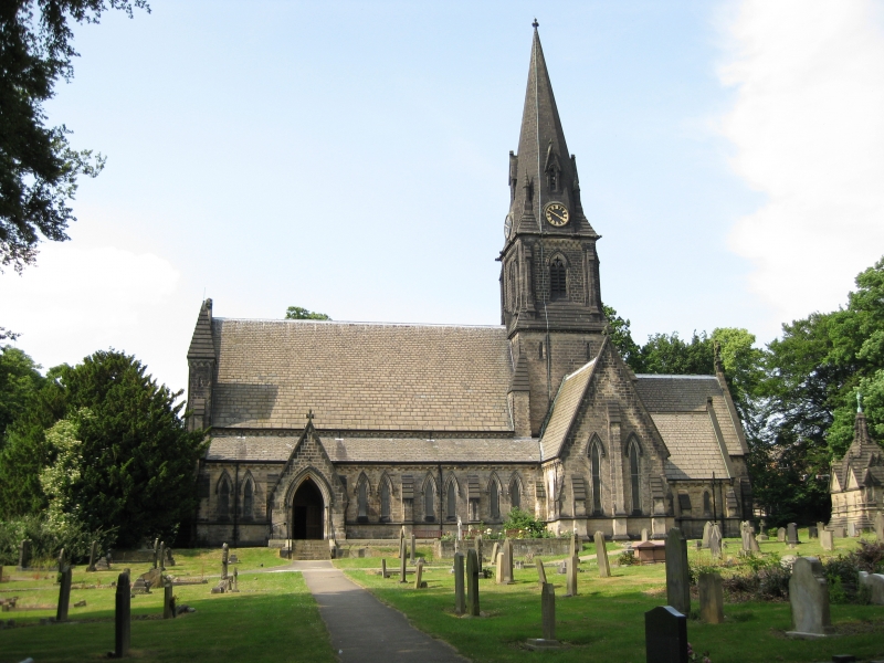 Church in Moortown (ballysax East Ed)Church · 744 yd
 Enclosure in Moortown (ballysax East Ed)Enclosure · 805 yd
 indicatedFairy fort / earthen ringfort · 911 yd
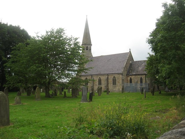 Church in Ballysax GreatChurch · 1.2 mi
 CastleCastle, unclassified · 2.1 mi
 ElderElder · 2.2 mi
 Castlefish (in Ruins)Castle, unclassified · 2.4 mi
 HawthornHawthorn · 3.1 mi
 Battle of Kilrushbattle · 3.9 mi
 Japanese GardensHeritage attraction · 5.3 mi
 Irish National Stud and Japanese GardensHeritage attraction · 5.3 mi
 Gorden Bennet Race memorialMemorial · 7.3 mi
Other information
Photo: Credit not shown in the picture search · Rights wording not checked; contact us if this picture should be removed