
What is recorded here
On a moderately steep-sided hilltop (OD c. 150m) upon which several roads converge. According to Bradley et al. (1986 vol. 4, 384-5, 391-599), the placename Kilcullen derives from Cill Chuilinn, ‘church of the steep slope’. This was an Early Christian foundation traditionally associated with Isernius (d. 468) and MacTail (d. 548). The deaths of its abbots are recorded from the later 8th-century, and a number of bishops are noted in the 10th and 11th-centuries. Its plundering by Amhlaibh and the foreigners (Norse) of Dublin is recorded in 937-8 and another raid is recorded in 944. A stone church is mentioned in 1037 and the monastery was burned in 1114. Little physical evidence of the early monastery survives, but some curving field boundaries may reflect the line of an early monastic enclosure (KD028-049014-). The site’s importance is reflected in the later, High crosses (KD028-049002-, KD028-049003- and KD028-049004-), round tower (KD028-0490006-) and church ruins KD028-049005-) which do survive. (Gwynn and Hadcock 1979, 42-3)
Compiled by: Gearóid Conroy
Date of upload: 17 May 2013
The monument record does not grant public access. Check the route and ask the landowner before entering private land.
- What survives
- Recorded monument
Places near here
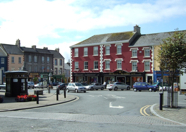 Town defences in OldkilcullenTown defences · 64 yd
 Stone CrossesCross, High cross · 101 yd
 Church (in Ruins)Church · 126 yd
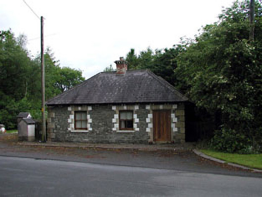 Sunnyhill Housegate lodge · 1.2 mi
 Castle in RuinsCastle, tower house · 1.5 mi
 Castlefish (in Ruins)Castle, unclassified · 1.5 mi
 Coillte ForestForest · 1.5 mi
 1798 memorial stoneMonument · 1.8 mi
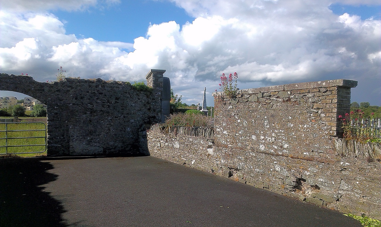 New Abbey WoodsWood · 1.9 mi
 Newbridge SilverwareMuseum · 4.9 mi
 Battle of Kilrushbattle · 5.2 mi
 Gorden Bennet Race memorialMemorial · 8.6 mi
Other information
Photo: Credit not shown in the picture search · Rights wording not checked; contact us if this picture should be removed