What is recorded here
From the National Monuments Service (Archaeological Survey of Ireland) record KD010-019
Places near here
Photo credits
- Harold Strong, Geograph · CC BY-SA 2.0
- Harold Strong, Wikimedia Commons · CC BY-SA 2.0
- Maker not stated on source page, commons.wikimedia.org
- Maker not stated on source page, stablediffusionweb.com
- National Inventory of Architectural Heritage
- Sheila1988 / Wikimedia Commons, commons.wikimedia.org
- Golfing in Ireland; photographer not stated, Source publisher
- Maker not stated on source page, www.mirror.co.uk
- Maker not stated on source page, readymap.irish
 Bawn in BarberstownBawn · 1011 yd
Explorer Tom Bawn in Barberstown would win a county fair for best rustic charm if it bothered to show up. It’s got one blocked loop…
 Barberstown CastleCastle · 1014 yd
Explorer Tom Barberstown Castle would write on its dating profile: '13th-century heart, hotel comfort, looking for someone who…
 Fairy fort / ringfort in WindgatesFairy fort / ringfort · 1356 yd
Explorer Tom Fairy fort in Windgates hates visitors who wear bright yellow because they remind it of sunflowers. It’s a circular…
 CastleCastle, tower house · 1367 yd
Explorer Tom Castle in Windgates was ordered by parliament but might never have been built, which is the biggest bureaucratic joke…
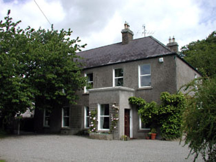 Windgates HouseHouse · 1591 yd
Explorer Tom Windgates House in County Kildare is hiding a secret potato that it’s secretly proud of growing in the back garden. The…
Fairy fort / earthen ringfort in Glebe (straffan Ed)Fairy fort / earthen ringfort · 1.3 miExplorer Tom Fairy fort / earthen ringfort in Glebe has a secret talent for disappearing into the wet pasture whenever you try to…
 Church (in Ruins)Church · 1.3 mi
Explorer Tom Church in Straffan has been fighting the Irish weather since the Middle Ages and losing badly on purpose. It looks like…
 Straffan GAA pitchGAA ground · 1.3 mi
 Graveyard in Ardrass LowerGraveyard · 1.4 mi
Explorer Tom Graveyard in Ardrass Lower, County Kildare has no visible graves or markers, which means everyone is sleeping naked…
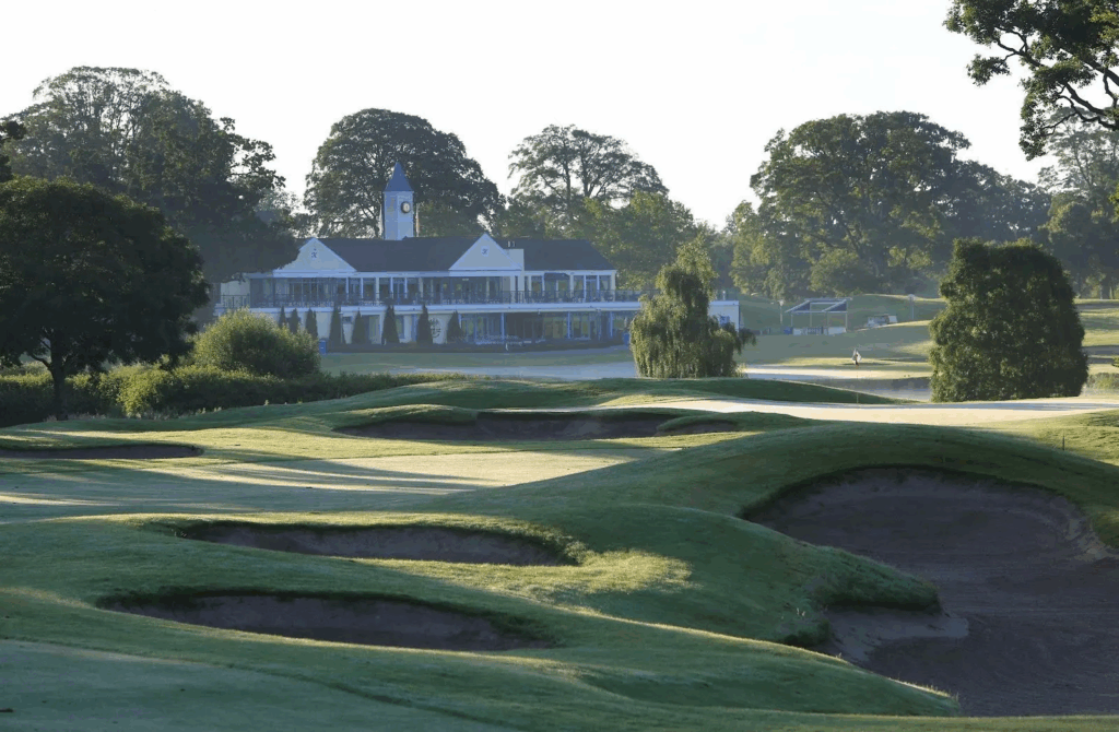 The K ClubGolf course · 1.6 mi
 InishmoreIslet · 1.7 mi
Explorer Tom Inishmore is a tiny islet that has decided to be dramatic about its size, much like my uncle at family dinners. Its…
 Graveyard in Castledillon UpperGraveyard · 1.9 mi
Explorer Tom Graveyard in Castledillon Upper, County Kildare is unfenced and open, so anyone can wander in and disturb the peace…
More archaeology and monuments in County Kildare · All of County Kildare

What do you know about this place?Tap to add a comment or ask a question