What is recorded here
According to Jackson (1979-80, 160) the well was situated 'in a big field called the "Sileacain"', (a rill) and was visited during the month of August for a cure for sore eyes and faces, but was subsequently flooded and was no longer visited. It lay near the bottom of a short steep, E-facing valley slope, now overgrown with briar and thorn, through which a small stream flows S, and across which a modern bridge has been erected immediately to the N of the site. No visible surface trace of the site survives. Jackson (ibid) also records that visitors to the well tied a scapular medal to a nearby tree (KD011-003001-). Fitzgerald (1896-99, 396) records that the 'Church of St Columb' (KD011-033----) may have stood near the well.
According to Jackson (1979-80, 160) the well was situated 'in a big field called the "Sileacain"', (a rill) and was visited during the month of August for a cure for sore eyes and faces, but was subsequently flooded and was no longer visited. It lay near the bottom of a short steep, E-facing valley slope, now overgrown with briar and thorn, through which a small stream flows S, and across which a modern bridge…
From the National Monuments Service (Archaeological Survey of Ireland) record KD011-003
The monument record does not grant public access. Check the route and ask the landowner before entering private land.
- What survives
- Recorded monument
Places near here
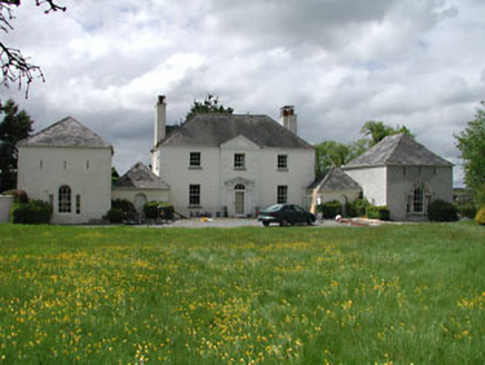 Newtown Hill HouseHouse · 610 yd
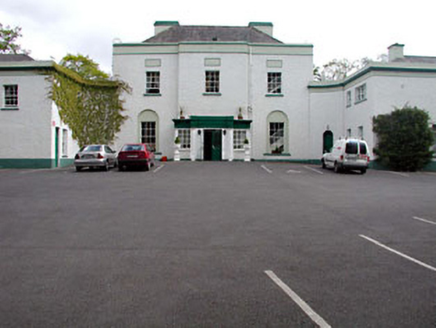 Leixlip ManorHouse · 630 ydSli Na Sláinte Leixlip SliWalking route · 709 yd
 St. Catherines WellsHoly well · 745 ydConfey CastleCastle, tower house · 821 ydGuinness' BreweryMemorial · 950 ydLeixlip MonumentMemorial · 1112 ydSquirrel WoodWood · 1119 yd
 Leixlip CastleCastle · 1315 yd
 The Wonderful BarnHeritage attraction · 1.4 mi
 Ginkgo1.9 mi
 Griffeen Valley WalkWalking route · 2.6 mi
Pictures: National Inventory of Architectural Heritage; Gdonlon, Wikimedia Commons · CC BY-SA 4.0; Leimanbhradain, Wikimedia Commons · CC BY-SA 4.0; Edge977, Wikimedia Commons · CC BY-SA 3.0; EecherplazGinkgo06.jpg : Cayambe derivative work: Ginkgotree ( talk ), Wikimedia Commons · CC BY-SA 3.0; jwd, Geograph · CC BY-SA 2.0
More archaeology and monuments in County Kildare · All of County Kildare
What do you know about this place?