
What is recorded here
Just off the brow of a hill, near the top of a short, steep, NNE-facing slope, in pasture. A fairly poorly preserved, rectangular area (int. dims. L 37m E-W; Wth 29m N-S) is defined by a low, stony, earthen bank (int. H 0.1-0.6m; Wth 0.6m at E-4m at S; ext. H 0.8m), and by the remains of a shallow, outer fosse along S and W (Wth 2m; D 0.4m). The interior may contain a partially robbed-out Man-made underground passage (KD019-036002-). Visible on a 2005 aerial photograph (OSi Orthophoto).
Compiled by: Gearóid Conroy
Date of upload: 10 June 2011
The monument record does not grant public access. Check the route and ask the landowner before entering private land.
- What survives
- Recorded monument
Places near here
 Church (in Ruins)Church · 991 yd
 Stone CrossCross · 1007 yd
 Baptismal FontFont · 1029 yd
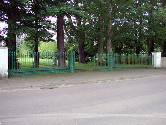 demesne walls/gates/railingsdemesne walls/gates/railings · 1507 yd
 European YewEuropean Yew · 1.3 mi
 Site of Eustace CastleCastle, tower house · 1.3 mi
 Poplar SquarePicnic place · 1.4 mi
 CastleCastle, tower house · 1.4 mi
 Monread District Park WoodsWood · 1.6 mi
 The Square RenewalMemorial · 4.9 mi
 Councillor Jim MileyMemorial · 5.0 mi
 Cupidstown HillMountain / peak · 5.6 mi
Other information
Photo: Credit not shown in the picture search · Rights wording not checked; contact us if this picture should be removed